I came to Central Oregon to visit a friend. And that was the only reason.
I had some vague knowledge that the area around Bend (locally referred to simply as “Central Oregon”) was going to be beautiful… but I hadn’t thought much about it. I was really just here to spend some quality time with my people.
Y’all. Oh my goodness gracious. This area is SO under-hyped. It’s gorgeous out here. And quite unlike anything else I have seen in the Pacific Northwest / British Columbia. Or maybe, anywhere. It was truly new for me.
I also just had a particularly positive and therapeutic experience here. I will tell you in my writings that lots of places are beautiful—and all of them are!—but this particular episode of my travels just brought me a lot of joy in a way that beauty alone could not have. I get the warm fuzzies thinking about it. So let me end this series in Oregon with a final shout-out to Buddy & Erica for pushing me out of my comfort zone in this article and showing me the magic of the Three Sisters Wilderness. ❤️
Climbing Black Butte
“Hike Black Butte!” they said. “It will be fun!” they said.
The “they” here is my dude’s born-and-raised-at-high-altitudes, fitness instructor fiancée, who recommended Black Butte as an “easy” hike we could do the evening I arrived from sea level. I had no idea what it was at the time, so I agreed and we promptly hopped in the car to start the drive. Departing from the town of Sisters, I never actually saw the small mountain I was about to climb before arriving at the trailhead, but here are a few shots of it from further away, which I took over the following days:
So, we’re about to hike to the top of that big pointy land formation off in the distance.
“Butte” is a term that essentially means a mountain-shaped object that isn’t quite tall enough to be considered an actual mountain. In other words, it’s a small mountain. But I don’t think I knew that either as we thundered up the gravel road that leads to the trailhead. We were driving straight uphill for like 30 minutes before the road finally leveled off and dead-ended at the start of the trail. By this time, we were out in the middle of nowhere. Here’s the AllTrails link for more info.
We slapped on some bug spray and sunscreen, and then we began our march up the side of the mountain. It was going well for about 5 minutes before I was HURTING. This hike is STEEP. Which would have been challenging all on its own, but what really did me in was the altitude. I was extremely out of breath almost instantly. I always want to be tough in these situations—I was a D1 swimmer in college, after all, so I have some ego when it comes to athletic endeavors like this—but I was honestly getting a little worried. My Fitbit was already reading my heart rate at above 150 and there was still a long way to the top. My cardio is nothing like it was back in my swim days, so I had to admit defeat and ask for short breathers more times than I am proud of.
During one of my little breathers, early on, a family with small children and a pregnant lady passed us as they walked down from the summit. I asked them if we were almost there. They laughed and said that we were probably less than 1/3rd of the way up.
My pride and masculinity in tatters, I realized that I was going to have to shift my mindset. This was a marathon and I needed to set a sustainable pace. The total elevation of Black Butte was (is) 6,436′ and I had a long way still to go. There were a number of people who speed-walked past us as I wheezed my way ever upward, slowly but surely.
Honestly, there came a point where we had a serious conversation about turning around. I’ve been making an effort to write more openly about how my anxiety affects me in my travels. As you may recall from the beginning of the previous series on British Columbia, it was only a few weeks ago that I was having an anxiety attack in the Toronto airport. These had been a therapeutic few weeks during which I had made a lot of progress… but this experience was triggering my anxiety hard. One of the biggest venues where my anxiety plays out is my health, which had been taking a while to fully bounce back after a nasty bout of COVID I caught some months ago. I thought I was mostly in the clear at this point, but it was not long ago that I was seriously worried that I had “long COVID.” My new conspiracy theory now (which I came up with on my own) is that 90% of supposed “long COVID” cases are actually the lingering effects of stress and mental health issues in disguise. I have some good data points to back that up, but I won’t go down that road right now. The point is, I was not used to feeling this way. In my head, my inner monologue was basically “AM I OK??” on repeat. My concerns felt all the more valid seeing how unaffected everybody else on this trail seemed to be.
Now, looking back on this I will tell you that (1) altitude was definitely playing a major role here. This is NOT a good hike to do on the same day you arrived from sea level. (2) My anxiety also may have turned my perceived breathlessness into a self-fulfilling prophecy. Shortness of breath is a common anxiety symptom. (3) To address the comparative dynamic here, people in Bend (and the surrounding areas)—who already are living at a higher elevation than most—are well known to be some of the most physically fit people in the U.S. This is a town full of marathon runners. That’s the culture. And (4) I had not done enough cardio since my bout of COVID to be regarding myself in the same way I did when I was a D1 swimmer. In retrospect, it makes total sense that I would have been out of breath, but at the time, I was scared.
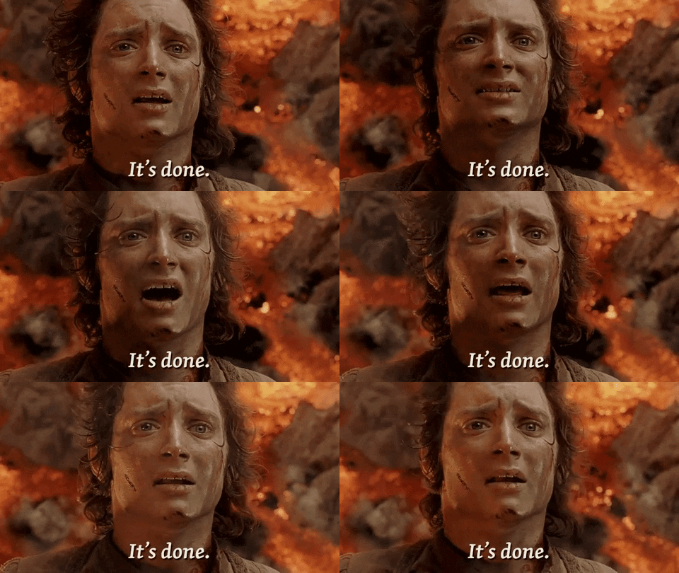
There was a point in this hike where I felt like frickin’ Samwise Gamgee carrying Frodo up the side of Mount Doom. I was just focusing on putting one foot in front of the other.
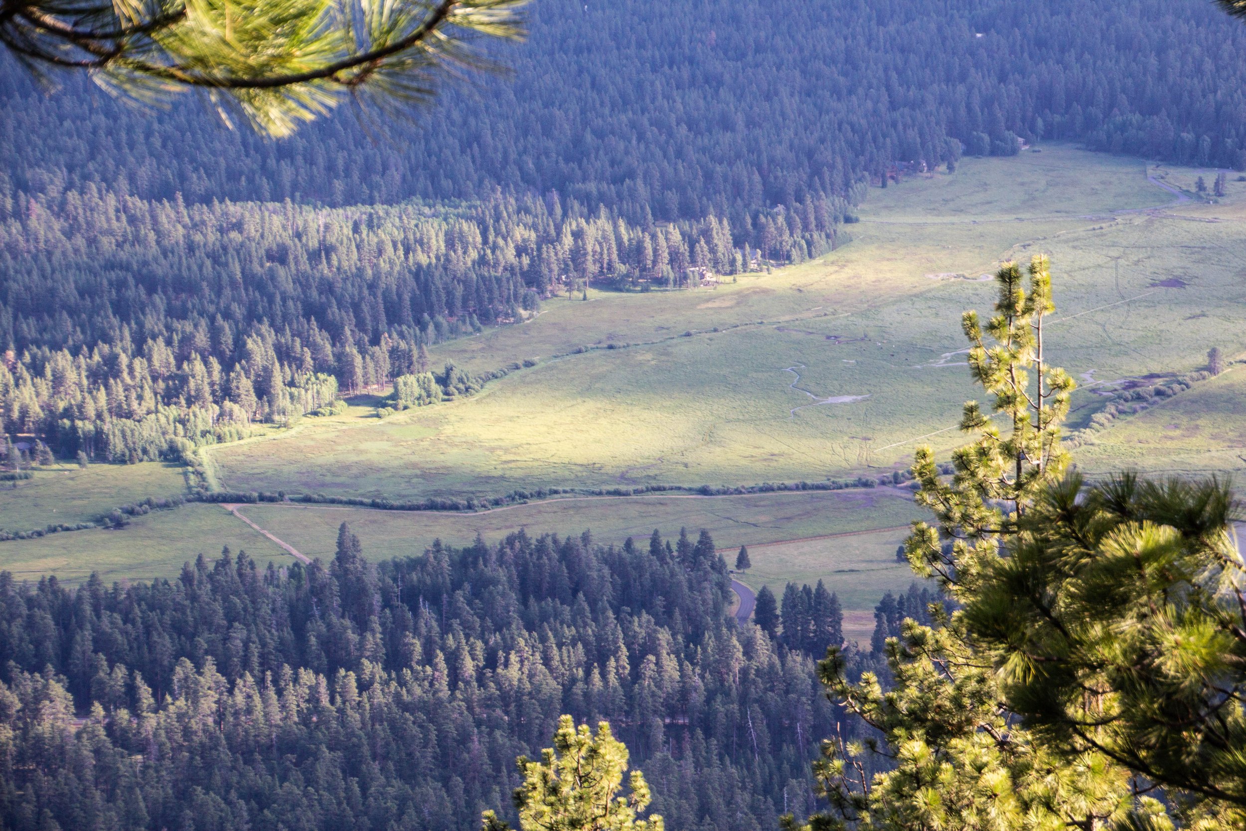
Still, in spite of my struggles, it was not lost on me just how beautiful my surroundings were. I would have been stopping every 100 feet to take pictures regardless of being out of breath. When we started to exit the most heavily forested sections of the trail, we looked down the side of Black Butte to see that we were actually REALLY high up all of a sudden. And Central Oregon stretching out before us was just gorgeous. Have a look. 👇
Eventually, our steep, winding path began to level off as we entered the final stretch toward the summit. And let me tell you, the view up here was… surprising.
From the top of Black Butte, on a clear day (such as this one) you can see a whopping 11 different snowcapped mountains off in the distance. Those mountains are as follows, in ascending order of elevation. The asterisk (*) denotes mountains that are somewhat obscured by other peaks from the vantage point of Black Butte but are still visible.
Belknap Crater (Elevation: 6,872′)
Mt. Washington (Elevation: 7,791′)
Three Fingered Jack (Elevation: 7,841′)
Mt. Bachelor (Elevation: 9,068′)*
Broken Top (Elevation: 9,175′)
Middle Sister (Elevation: 10,046′)*
North Sister (Elevation: 10,085′)
South Sister (Elevation: 10,350′)
Mt. Jefferson (Elevation: 10,495′)
Mt. Hood (Elevation: 11,249′)
Mt. Adams (Elevation: 12,281′)
This many mountains is just insane to me. Prior to this trip, this was not what I pictured when I thought of Oregon. This was downright RUGGED! And it was gorgeous. The three mountains in closest proximity to Black Butte, and to one another are the Three Sisters for which this area is named: Middle Sister, North Sister, and South Sister. All three of these mountains are sleeping volcanoes. The North and Middle Sister last erupted ~14,000 years ago and scientists think it’s unlikely that they’ll ever erupt again. However, the South Sister erupted as recently as 2,000 years ago, and could feasibly erupt again. There have been sporadic reports of volcanic rumblings deep within South Sister since 1866, and there have been a couple of minor scares since the late 1980s. Nothing has ever happened, but there is a big pot of magma a few miles beneath the peak of South Sister. Did I mention that South Sister is also the easiest of these mountains to climb? Sign me up for that!! 😵
In all seriousness, I think it is a pretty safe hike. Buddy has done it more than once. In fact, we were originally planning this trip around hiking the South Sister together. It ended up being too snowy at the summit during the time of our visit, but based on how difficult THIS hike was for me… I’m pretty sure I dodged a bullet. Maybe one day I’ll come back and attempt to summit one of the Sisters… but not today.
These mountains were first seen by European eyes in 1825, but all of these mountains had their own sets of Native American lore that stretches back many centuries before us white people showed up. The tribes that originally inhabited this area were the Molala and Northern Paiute peoples, and I have seen a few competing versions of the myth that they associate with these mountains. I will share with you the version that I have been able to corroborate most substantially.
Basically, the legend goes that all of these mountains were once people. Mt. Hood and Mt. Adams were fighting over a girl (go figure). At this time, there was a bridge over the Columbia River that served as the venue for much of their conflict. As time went on, the confrontation between Hood and Adams became so destructive that the other mountains all came together to intervene, traveling from their respective locations toward Hood and Adams. However, the bridge over the Columbia was destroyed in their conflict, so all of the other mountains stopped in their tracks and still stand in those same places today.
Anyway, here are pictures I took at the top of Black Butte. The lookout posts you’ll see in these photos have been maintained (albeit, rebuilt a couple of times) since 1910 when they were built as the first fire lookouts in Deschutes National Forest.
Ok, let me say something serious.
This might not seem like much to you, but making it to this goddamn summit was one of the proudest achievements of my year. I wasn’t sure that I was going to get here. But the fact that I made it was an important reminder that I’m not fragile! You have to push yourself to find that out. Comfort is a slow death and I had made myself too fucking comfortable as I grappled with my anxiety issues over the preceding 9-12 months.
Looking back at this hike in the context of my year, I can see that making it to the top of Black Butte was a turning point for me. Since this hike, I have felt much more like myself. Even today, I am still riding that wave. Of course, there are still difficult moments; mental health is a journey that I’m probably going to be on for the rest of my life. But I left this hike with a feeling of empowerment that I am still carrying with me today. And I have Central Oregon, Black Butte, and most of all Buddy to thank for that. ❤️
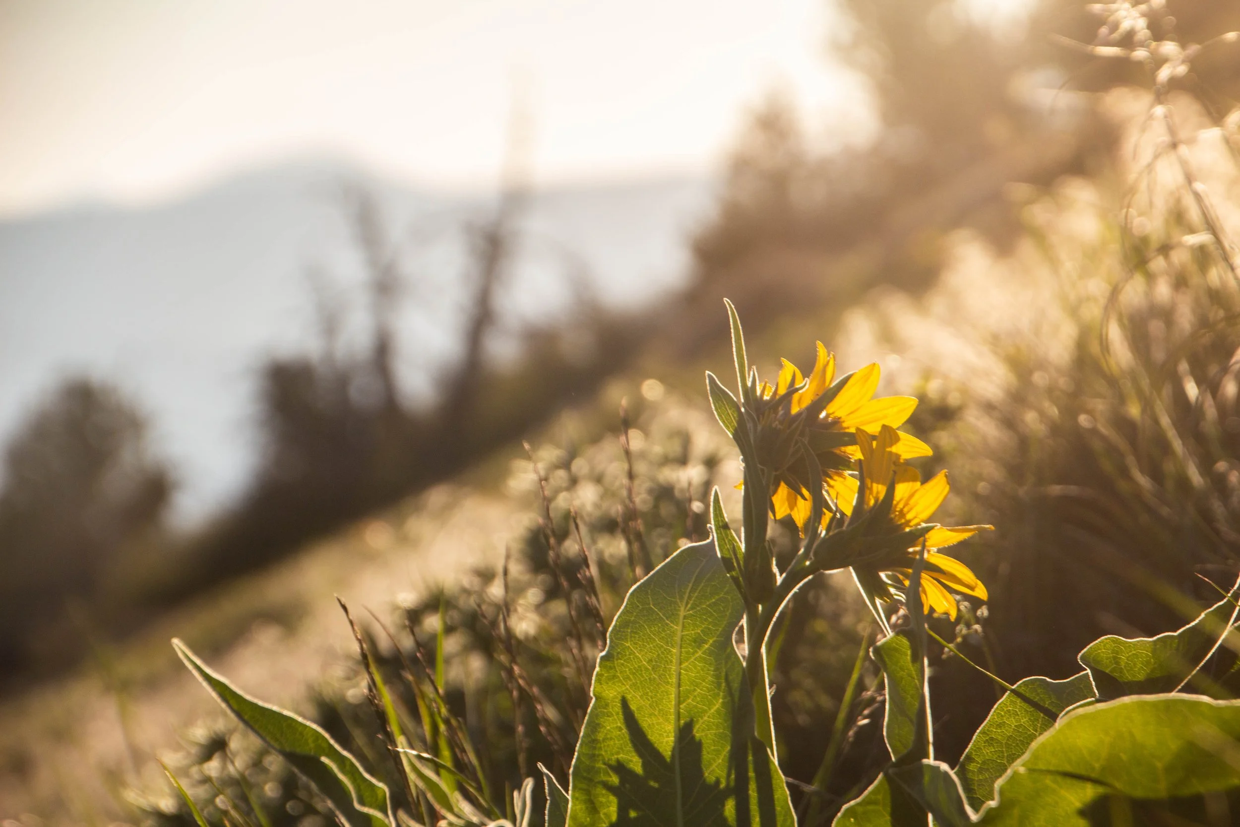
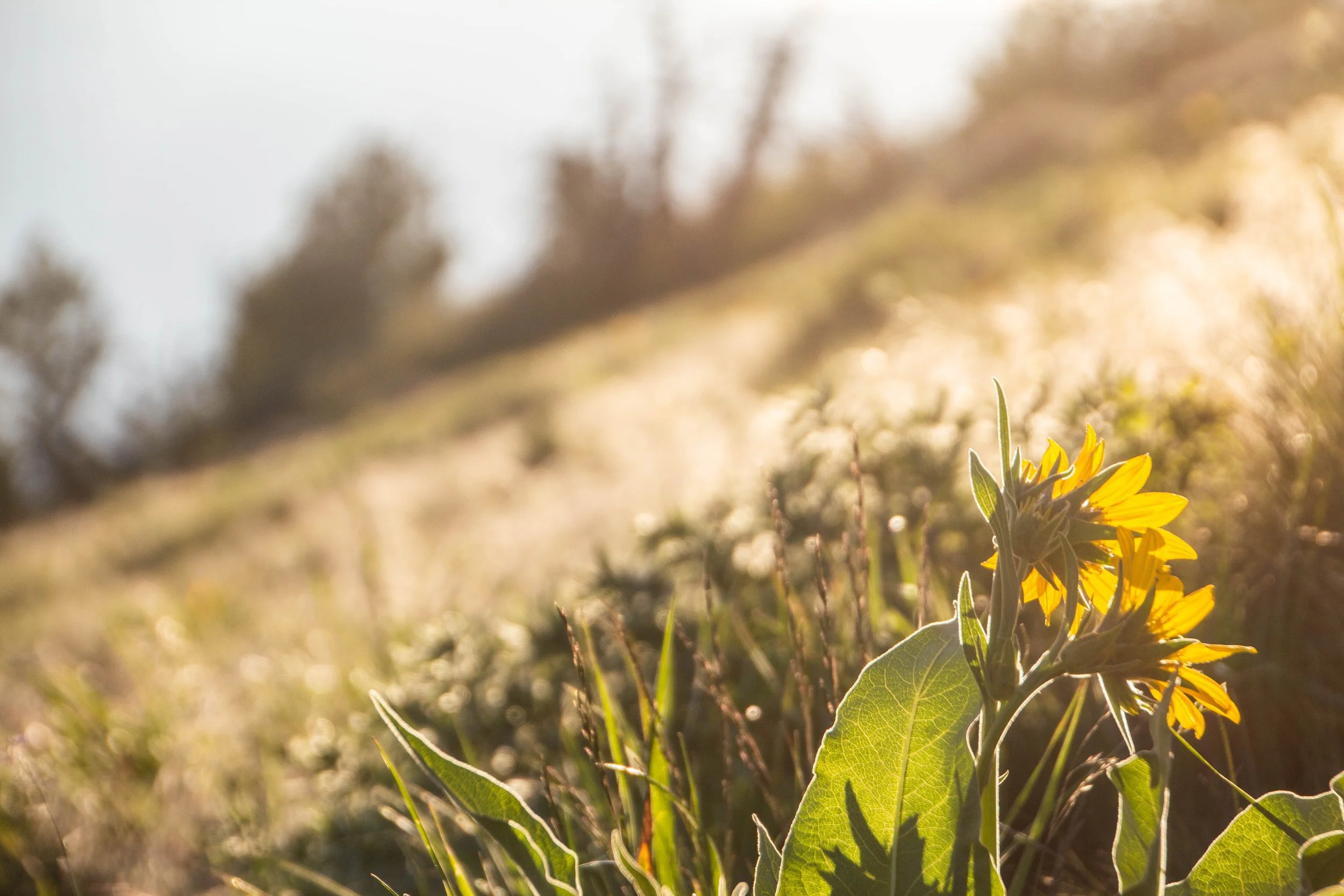
Here are a few shots of the late afternoon sun coming out as we made our descent.
To keep the Lord of the Rings theme going here, let me share some actual footage of me when we finally got back to the parking lot.
“Oh, Black Butte?? That’s an ass-kicker!”
In the following days, when we said that we had climbed Black Butte, that was the word-for-word response we got from multiple other locals. So that made me feel a little better. Maybe my performance on this hike was not quite so pathetic after all.
Up next we’re going deep into the Three Sisters Wilderness and I am going to be reminded yet again that I’m not fragile. And I’m going to be caked in mud. It’s gonna be fun! 💪


