




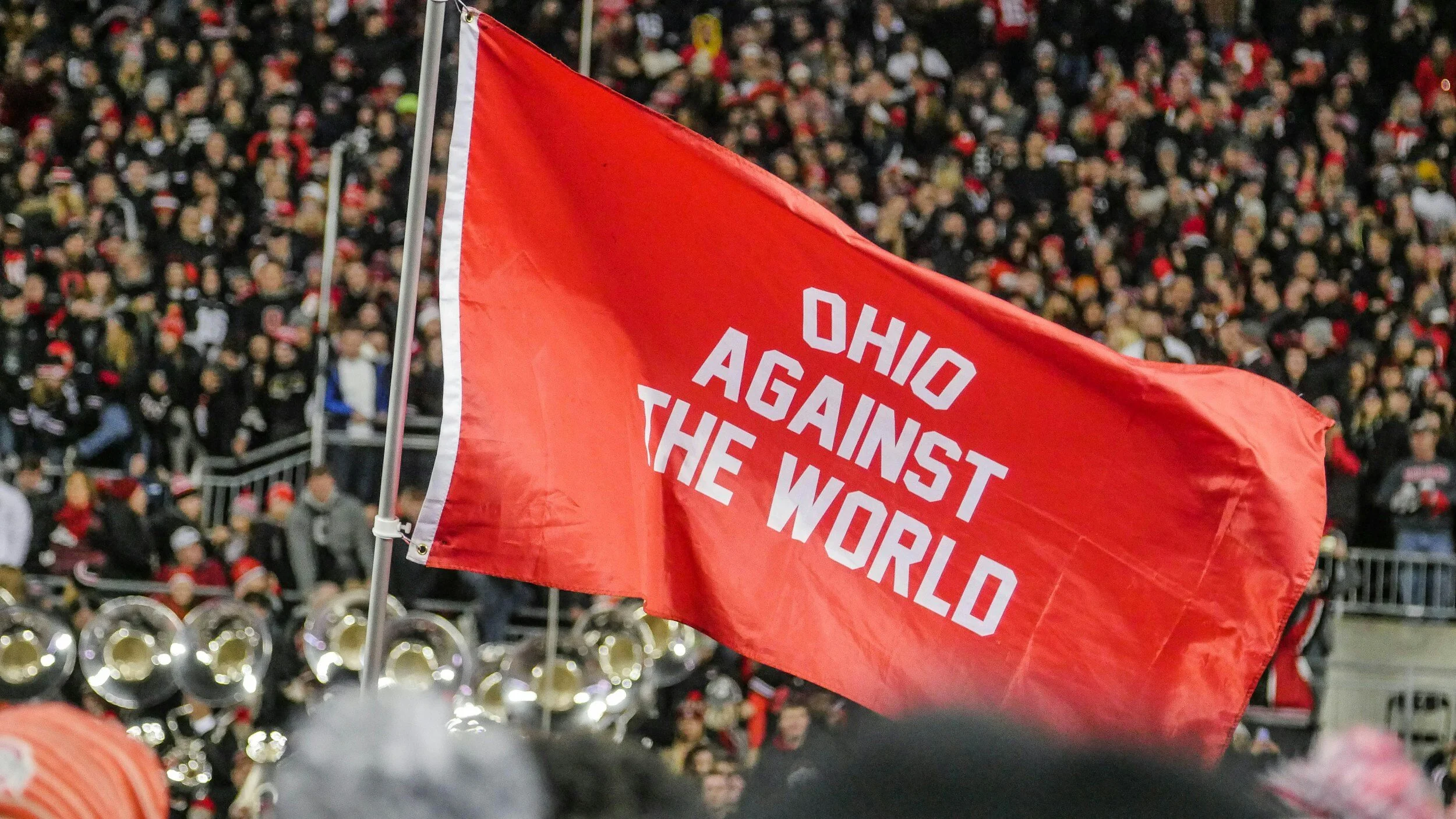

Home Intro
Home Intro
802,600+ WORDS 📝
~35,4762 Kilometers 🛣
359 ARTICLES ✔️
160 DESTINATIONS📍
148 FLIGHTS ✈️
118 PROVINCES 🗺
59 TRAINS 🚞
51 LANGUAGES 🧩
38 COUNTRIES VISITED 🏴☠️
34 BUSES 🚌
30 CURRENCIES 💶
29 BOATS 🛳
15 VACCINATIONS 💉
14 (OF 24) TIME ZONES ⏳
5 Countries Lived In 🎒
4 (OF 7) CONTINENTS 🌍
3 (OF 4) HEMISPHERES 🌐
2 Passports 🛂
2 NEAR-DEATH EXPERIENCES 😬
0 money WASTED 💸
✖️ SO FAR ✖️
👇 most recent Articles 👇
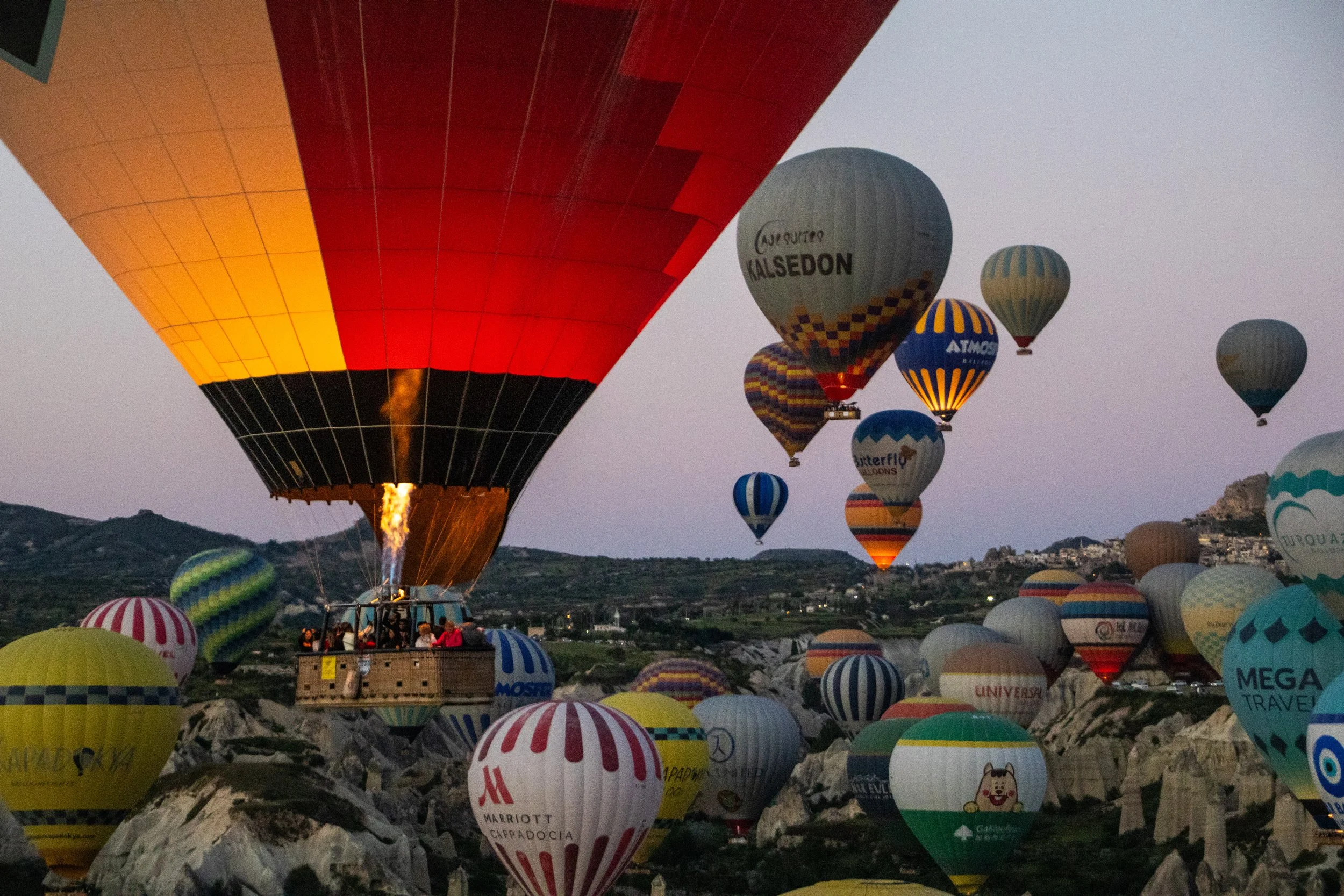
Here’s how hot air balloons work: heated air is less dense than cool air, so an injection of hot air will make the balloon rise, and letting hot air out will make the balloon descend. So, above the basket, there’s a massive burner that shoots flames vertically up into the balloon. And, at the top of the balloon, there is a small hole that the driver can open and close to let out hot air when they want to go down. Add all that up… and I wasn’t feeling too good about this. BUT, in 2025, an estimated 750,000 people did hot air balloon rides in Cappadocia, and every single one of them was fine. So, it was time to face my fears on this one.
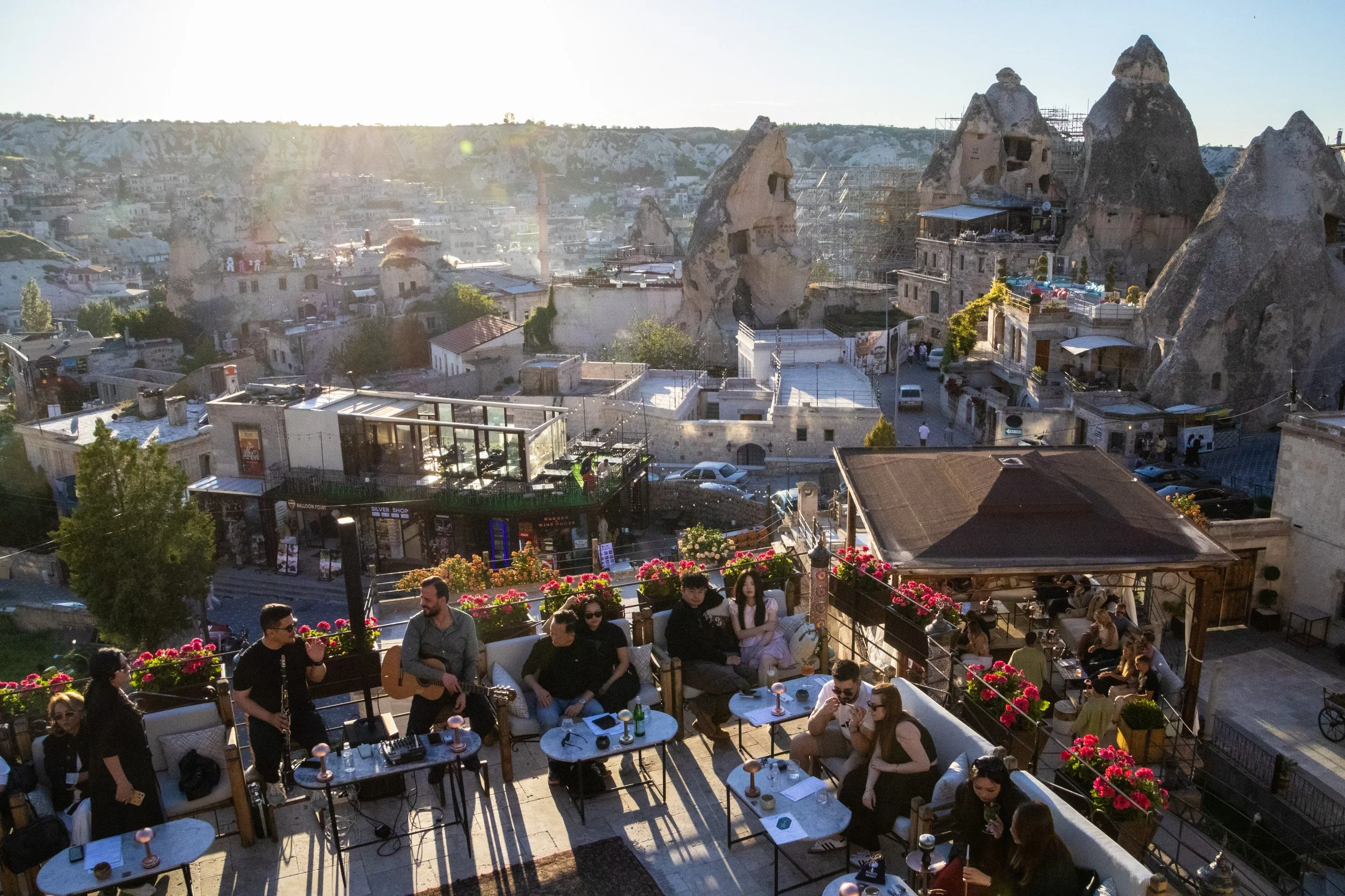
I realized in writing this article that I was a bit fuzzy on what the word “Anatolian” actually means. I’ll admit it! So, here’s a quick clarification: while the region known as “Anatolia” has basically the same boundaries as modern day Türkiye, the name “Türkiye” is derived from Turkish ethnic and cultural identity. Anatolia had been a hotbed of civilization for eons before the Turks showed up. To give a few examples, people groups such as the Hittites, Luwians, Phrygians, Lydians, Romans—and, approaching groups more relevant to the 21st century now—Persians, Greeks, Armenians, and Kurds ALL fall under the “Anatolian” umbrella, in part or in full. That’s why you’ll hear historians say things like “ancient Anatolian civilizations” rather than “ancient Turkish civilizations.” The Turks are the new kids on the block.
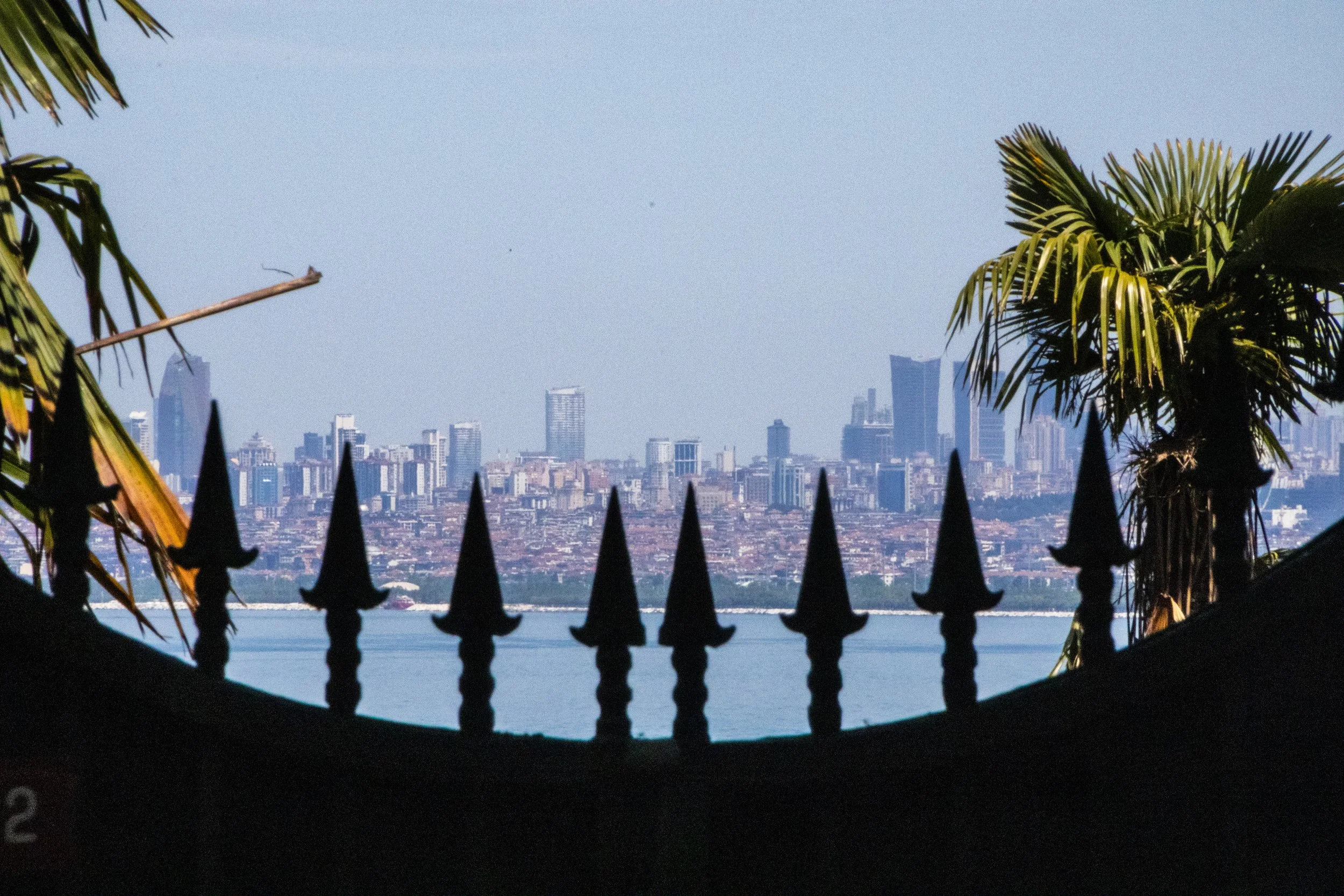
Istanbul has a chain of islands just off the coast that contain full-on neighborhoods. The Princes’ Islands are a chain of 9 islands just off the coast of Istanbul in the Sea of Marmara, but only 4 of them have substantial populations: Büyükada, Heybeliada, Burgazada and Kınalıada. Combined, they constitute the Adalar district of Istanbul. This is an interesting area to explore not only for the scenery, but because these islands embody and preserve the diversity of Istanbul in some fascinating ways.
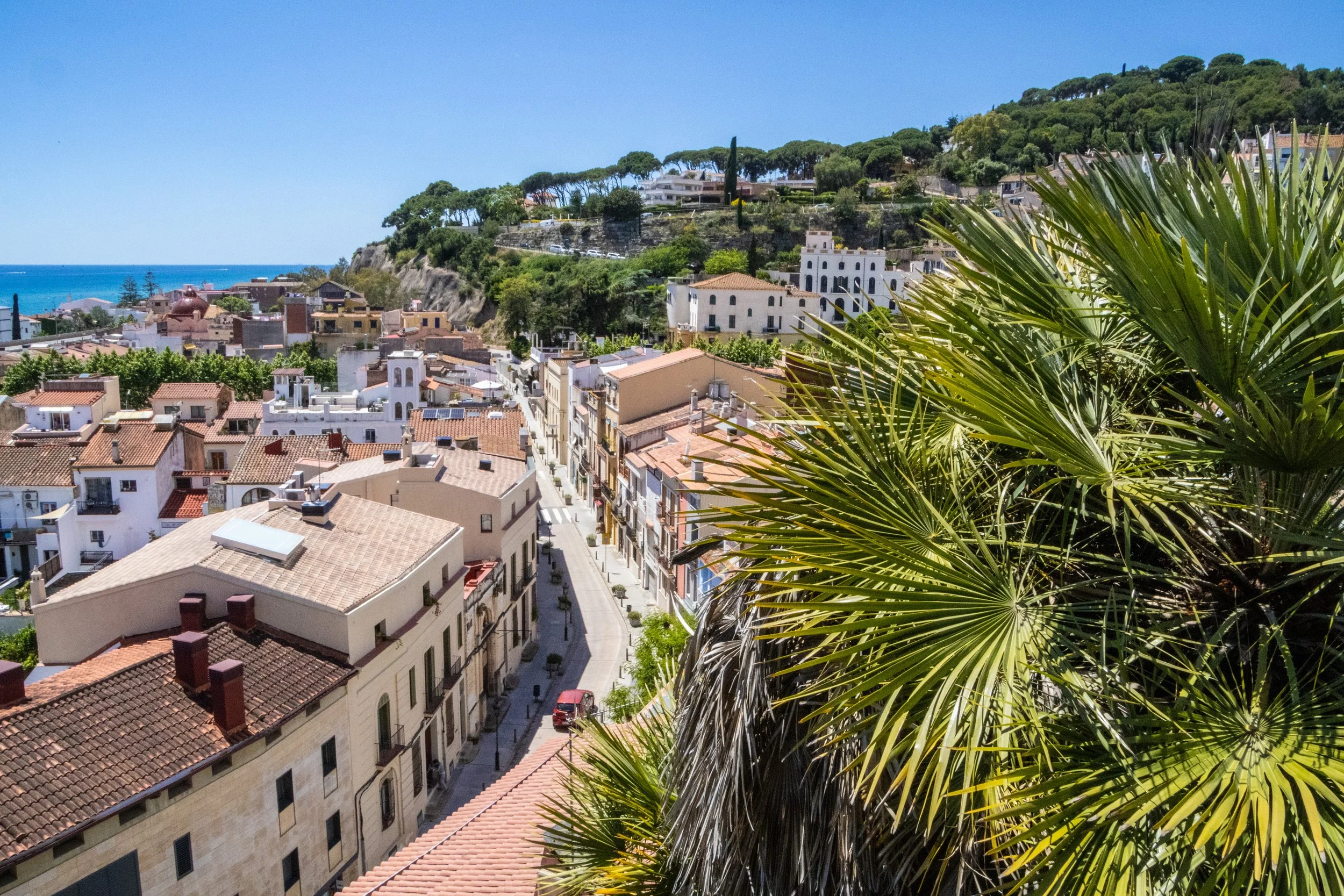
As chance would have it, on a quick errand into town, we’d spotted an old brick tower protruding through the trees off in the distance. We were standing on a ridge when we spotted it, and this was on the ridge opposite us, with a valley in between. THIS, we decided, WAS THE DESTINATION FOR OUR QUEST.
Honestly, if we never found our way up to this tower, that would be fine. But it gave us something to orient ourselves toward. The journey is what counts, right?
Well, the journey did not disappoint!
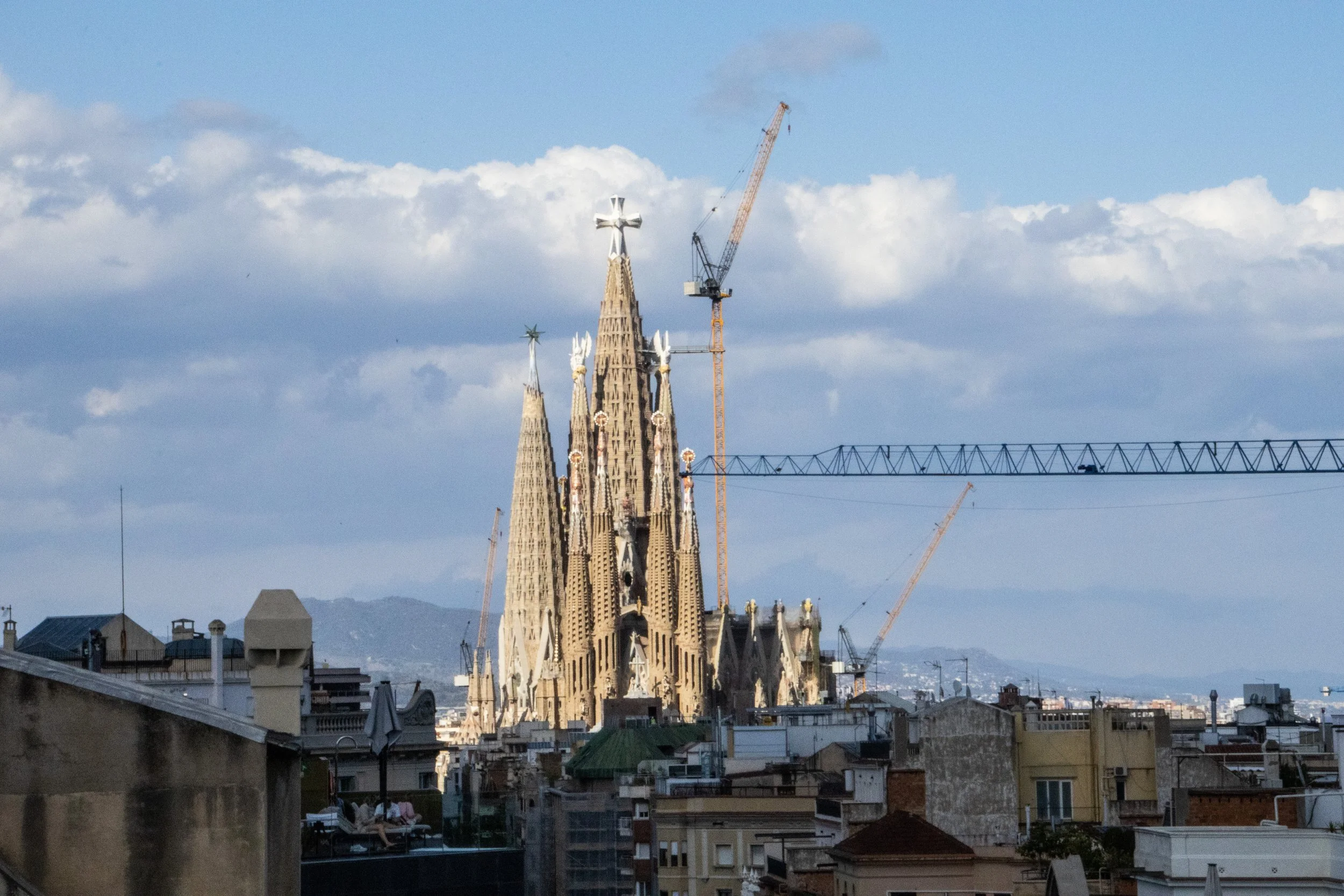
There are few cities on earth—certainly none more notable than Barcelona—whose architectural identities have been shaped so profoundly by just 1 person. Sure, other famous architects have left their mark on some of the other great cities of the world over the years, but none that I can think of whose work has so strongly and completely defined the identity of a single city as Antoni Gaudí for Barcelona. You may never have even heard of Gaudí, but if you know anything about Barcelona, chances are good that when you picture this city, you are picturing something that originated in this guy’s imagination.
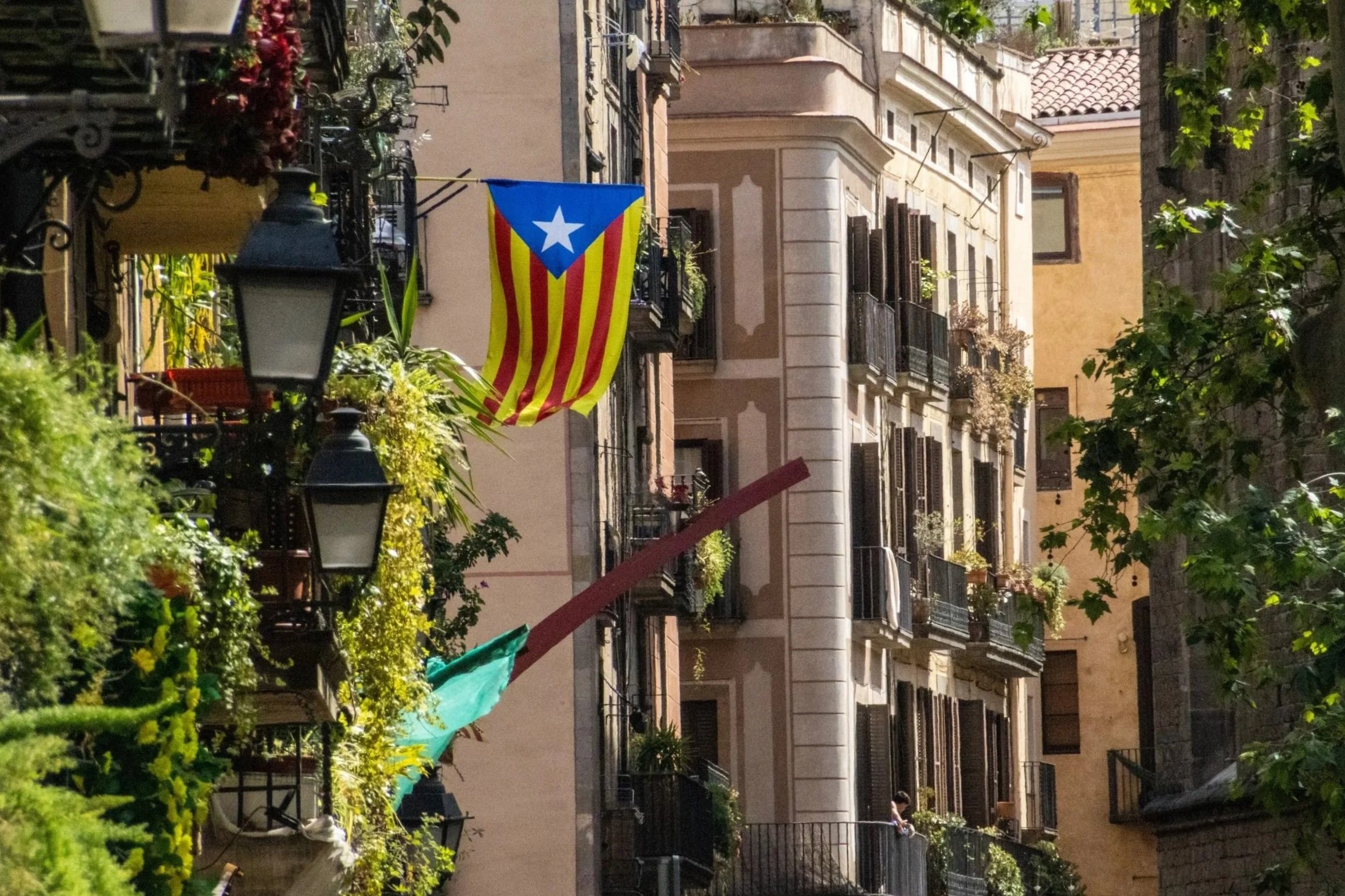
With a metro area population of ~ 5.5 million people, Barcelona is the 2nd largest city in Spain, behind only Madrid. By basically every quantifiable metric— population, economy, political power, etc.—Madrid is the larger city. But when it comes to travel, especially international travel, this relationship reverses. Barcelona is far-and-away the favorite destination for international tourists visiting Spain. And, when you consider the fact that Barcelona also covers a much smaller land area than Madrid, the concentration of international tourists becomes much more intense. Barcelona has indeed struggled to accommodate the levels of tourism it is now receiving, but it’s easy to see why the whole world is so interested in coming here! Sandwiched between the Collserola mountains and the Mediterranean Sea, Barcelona is an absolutely idyllic city. And once you’re in the middle of it, it’s incredible how quickly the Catalan identity eclipses that of Spain.
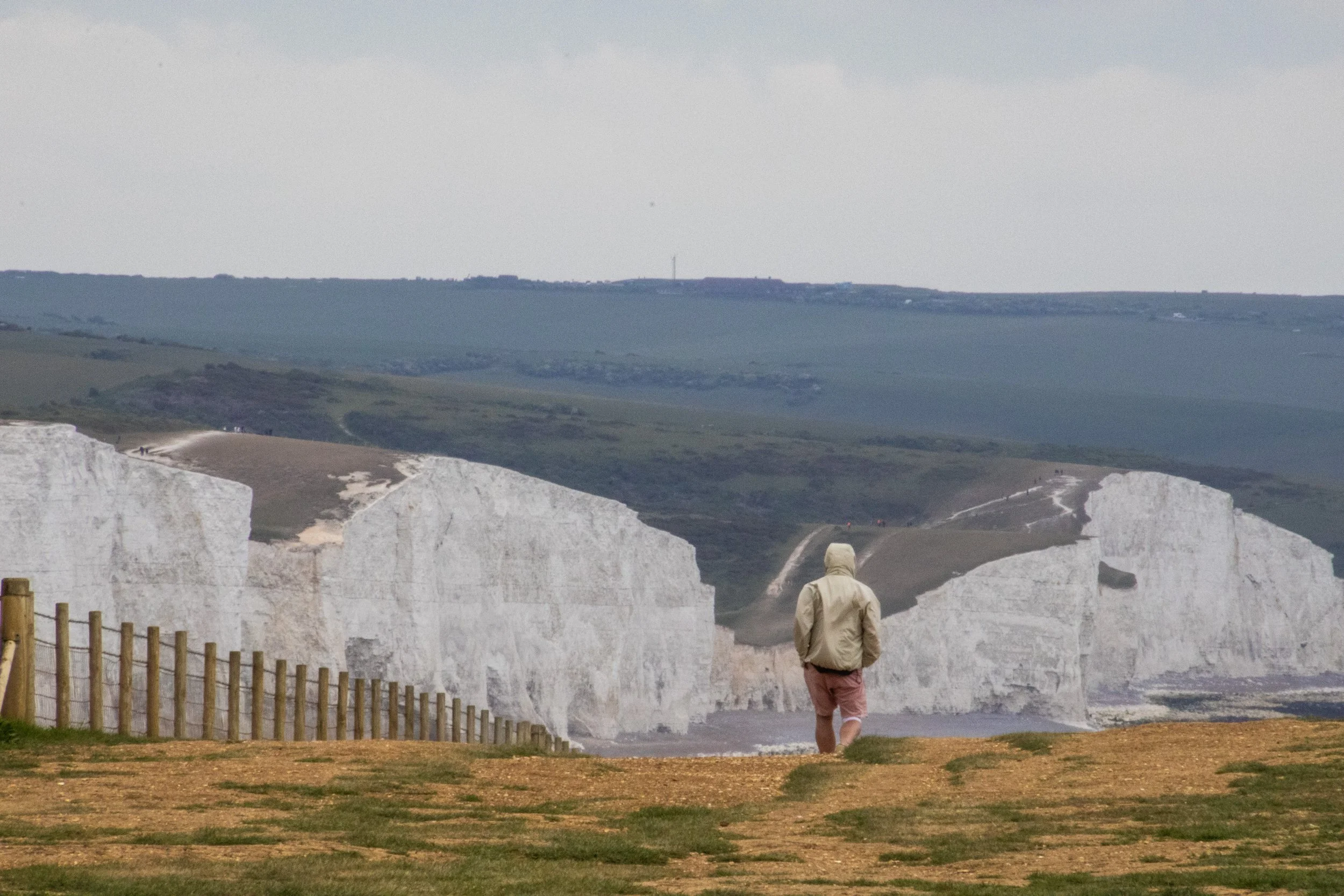
So, the “Sisters” are a series of massive hills that have each essentially been sliced down the middle by natural erosive processes to reveal massive, sheer cliffs that stretch along the English coastline like a series of rolling waves. To make the scene all the more striking, these cliffs are entirely white. Perhaps you’ve heard of the “White Cliffs of Dover”? This is part of the same system of cliffs, which is called the “South Downs”, but Seven Sisters is arguably even more iconic because the entire stretch has been kept completely natural and undeveloped. The white color comes from the fact that the earth here is made of an extraordinarily pure form of limestone: chalk! Indeed, the earth here contains about 98–99% calcium carbonate, with very little clay or sand, making them appear dazzlingly white! They stay so white because they are in a constant cycle of erosion, where after some time the outer layers of chalk crumble away revealing fresh, white chalk.
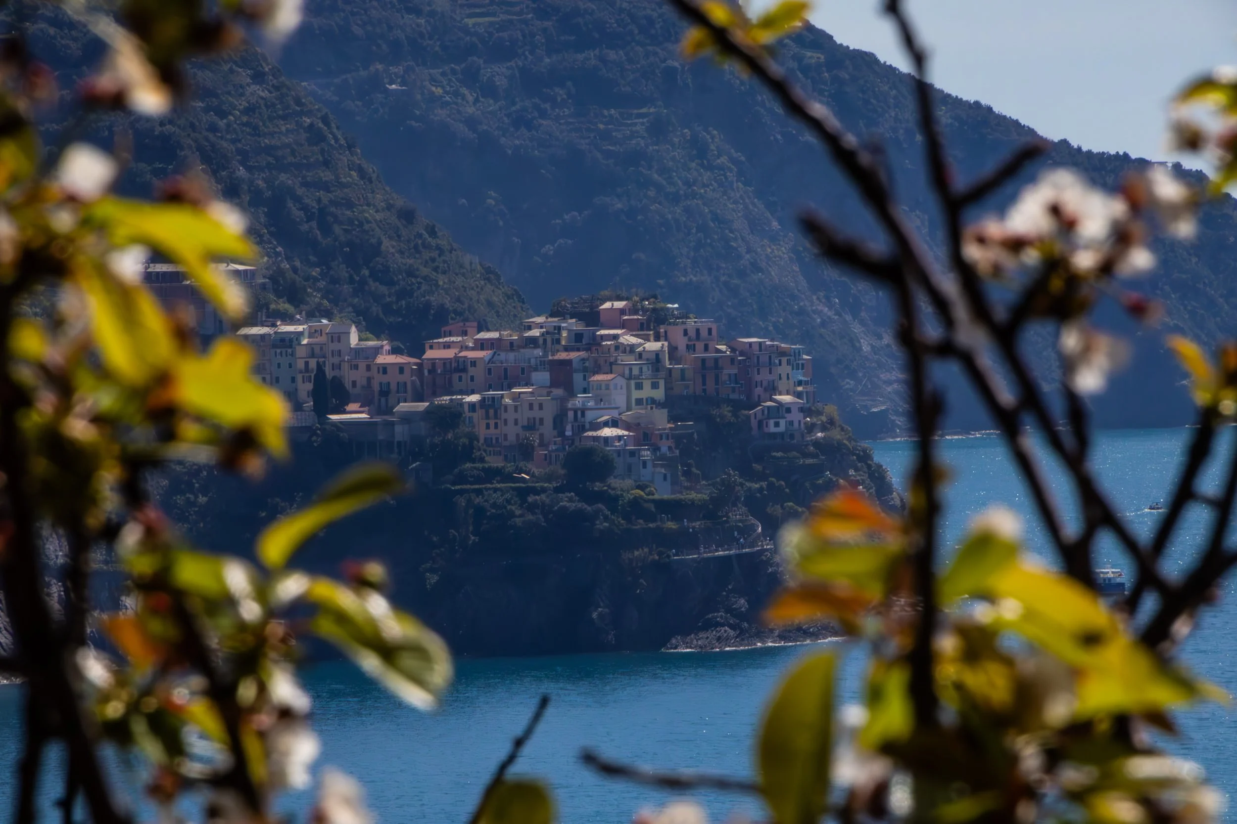
“Cinque Terre” literally translates to 5 lands, and indeed, it is not 1 place, but 5 places. It is a collection of 5 historic towns dotting the rugged, mountainous Mediterranean coastline between La Spezia and Genoa. These towns emerged between 1000 and 1200 AD, and—in their prime—were able to flourish because they combined fishing, boat building, agriculture, and maritime trade. You’ll hear them referred to just as “fishing villages” but that is only part of the story. Agriculture is also massively important to the appearance of these towns even today. The main staple of these towns, in additional to olives, was wine.
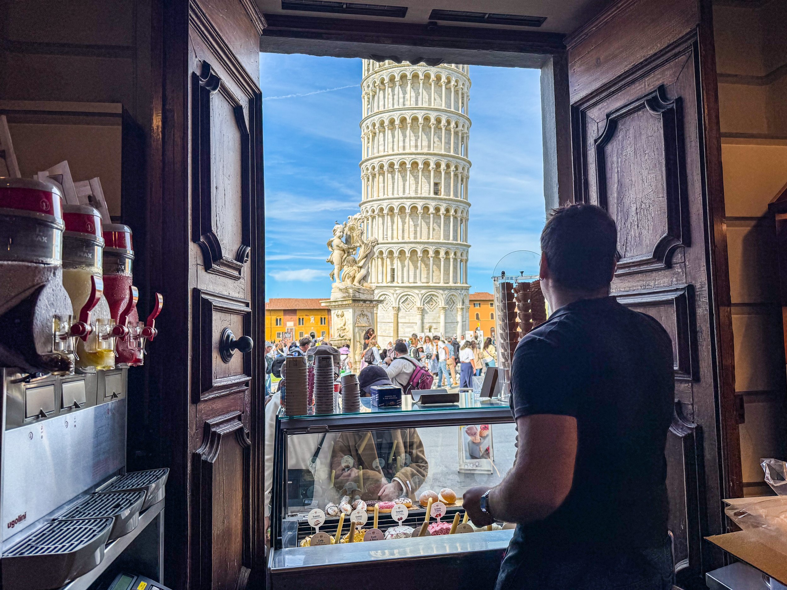
I doubt you will be surprised to learn that the Leaning Tower of Pisa was actually not supposed to lean. In 1173, when work began on this structure, the intention was for it to just be your typical free-standing bell tower. Although I should acknowledge that there was really nothing “typical” about this in the 1100s; Italy was leaps and bounds ahead of (most of) the rest of the world, which is part of what makes these sites so incredible. Anyway, construction took about 200 years, including an almost 100-year-long pause due to wars and political instability. It was officially finished in 1372.
⭐️ Popular Articles ⭐️

Dunno if anybody will read this, but I have learned so much about this subject that it seemed like a shame not to write it down. So here goes nothing.
I should start with one massive disclaimer: I am not now—nor was I ever—a “rock star,” so if you want to write off my advice due to the modesty of my success with this endeavor, I’d understand. But I would have killed (metaphorically) to get this information from somebody like me when I first showed up in Nashville. This is gonna be some insider shit. It won’t all be super tactical, but it should be pretty evergreen. And I can almost guarantee that this information is not written anywhere else on the internet. Or, at least not anywhere easy to find.

Whether or not these kinds of country bars are “your scene,” there is one thing that can be said for certain about Nashville’s Honky Tonks: they are the genuine artifact. Almost anywhere else you would encounter this kind of atmosphere, it would be a rip-off of something else. But THESE bars are the O.G.s. It was here that the “Father of Country Music” Jimmy Rogers started playing at bars almost a century ago in the 1930s. The area has gone through some ups and downs over the past 100 years, but today Broadway is enjoying multiple consecutive decades of economic growth.
Yes, if the articles on the Internet are to be believed, Music City is the place to be! Over the past few years, it has become an oft-recited fun fact that more than ~100 people are moving to Nashville each day. I can guarantee you that almost every single one of these people knows Nashville’s nickname, ‘Music City,’ and will visit Broadway—and maybe even the nearby Country Music Hall of Fame—in the first 6 months of living here.
However, very few of them will have ever heard of the other side of this coin: Jefferson Street.

Cortes Island is perfect. I am not speaking figuratively. Literally perfect. Every little detail of this island was so effortlessly interesting, unique, and authentic… I don’t know that I have ever seen a place quite like it. It felt like I was living in a chapter of a book. It was like the entire place was straight out of a Wes Anderson movie. Think Moonrise Kingdom, but on an island off the coast of British Columbia, and mostly populated by adults. I could make a cool Pacific-Northwest-meets-Martha’s-Vineyard Pinterest board inspired by this place. Every property was tastefully weathered and clearly maintained with a personal, practical touch. There were no houses that screamed “VACATION RENTAL” here. Every single one of them looked like they were the active, primary residence of an eccentric gardener.
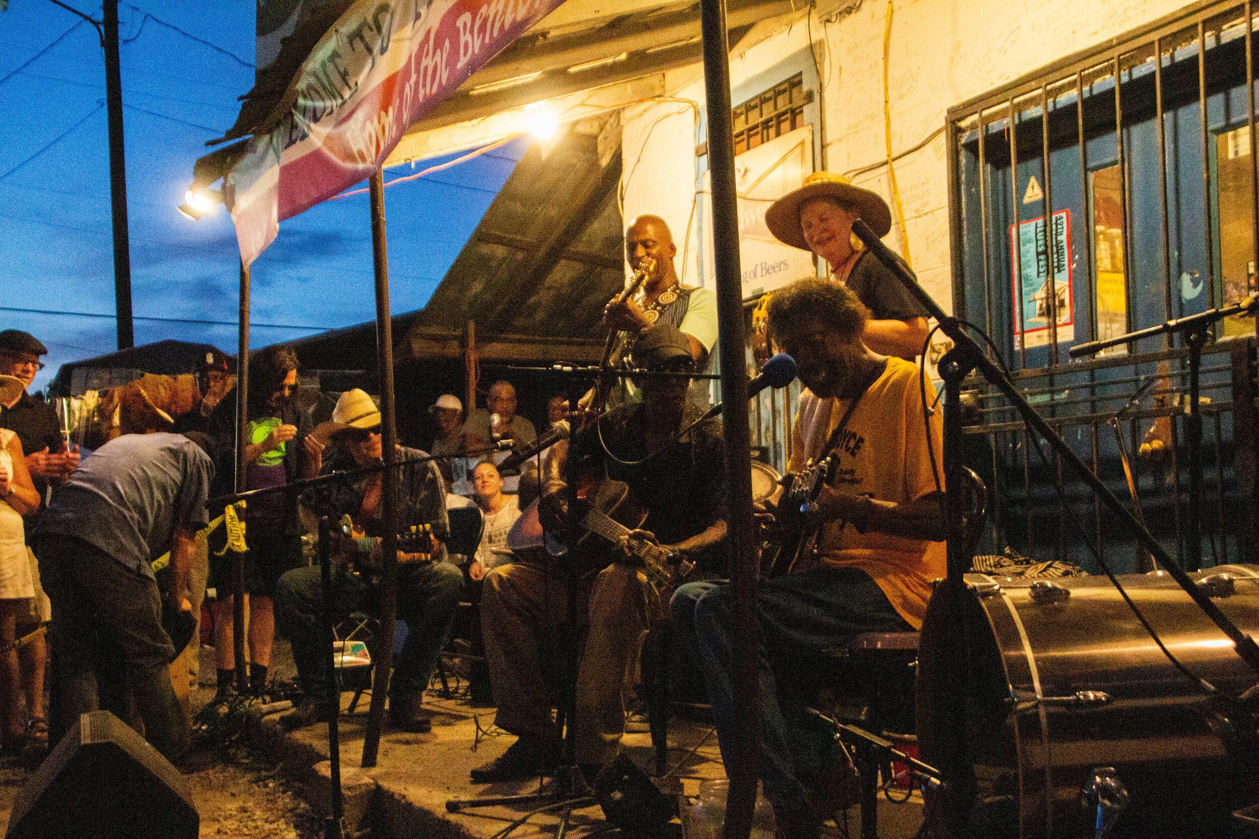
I don’t know what I expected when I showed up in Mississippi. I had some vague aspirations about getting out into the legendary Delta to see pieces of the Blues Trail, but I wasn’t sure how realistic it was to cover all of that ground in the short time I had. I thought it would be cool to visit the Crossroads, but everybody I know that has been there told me it’s literally just an intersection in the middle of nowhere. So I wasn’t sure it was worth the drive. This probably doesn’t sound like the beginning of a great article. I really thought of the Blues mostly in the past tense so I wasn’t expecting to find anything in Mississippi but some history. But OHHHHH MAMA! I have never been more wrong in my LIFE!

Let’s start with size. Mexico City is really, really big. In fact, Mexico City proper has almost 9 million people and Mexico City metro is home to a whopping 21 million people, which just a few million less than Beijing. This makes it the largest population center on the entire continent of North America—bigger even than New York, LA, Chicago, Toronto, etc. It also puts Mexico City comfortably in the top 10 largest cities in the world.

Once we got a bit closer to the city center, the vibes quickly became more difficult to categorize. Fast forward a few hours and I was in my happy place: out on the streets with my camera. I was eager to jump to conclusions, but the further I walked the less I sure I became of what I thought I knew. Some times I would pick up Middle-Eastern vibes from open-air restaurants in city squares, other times I would get European vibes from the little Armenian bakeries tucked away somewhere on every block. And the architecture on those blocks sometimes seemed to be European-adjacent… but then on the next block the buildings were giant, brutalist concrete blocks, serving as a striking reminder of Armenia’s Soviet past.

I should start by telling you that Gangi (pronounced "gan-chee") isn't *technically* a ghost town. It's actually trying REALLY hard not to be. In an effort to revitalize this town, the mayor of Gangi decided to start selling the vacant houses to outside investors for €1.00 a piece. This insane bargain comes with 1 string attached: that you will spend no less than 35,000 EUR (43,212-ish USD) to fix up the house within 5 years. Yes, this is 100% true, and if you want to, you really could buy one of these houses right now. Mull it over as you read this article.

At a glance, much of Algiers is almost a mirror image of its former colonizer, France, which sits just across the Mediterranean. Visually, it is defined by Parisian-style buildings, almost all of which are colored white. However, in spite of its surreal visual similarities with France, it only takes about 10 seconds of walking the streets of Algiers to realize that it is a world all its own.
I’m going to tell you this up front: I LOVE this city.

Landing in Havana was, in some ways, surreal for me. This city had been cloaked political taboo for so long that it occupied a mostly theoretical space in my mind. Seeing rural Cuba fly by as we made our landing in Jose Martí Airport removed this cloak quickly and unceremoniously. Despite all the build-up this trip had had, all I could think about was how surreal it was to finally be in this country.
“Cuba. Here it is. It’s real. And I’m in it.”

This quest brought us to the edge of the world, literally, to the bone-chillingly massive cliffs of Látrabjarg. Here’s a spoiler alert for you: it was mind-blowingly gorgeous. A friend of mine recently pointed out that I’ve said similar things about a great many of the places I have visited, so let me up the ante a bit: this was one of the top 5 most beautiful places I’ve seen, EVER.

Mumbai's Kamathipura is the oldest red-light district on the Indian subcontinent, and is the 2nd largest on the entire continent of Asia. The 1st largest is Calcutta, which is something that I didn’t realize when I was actually there. If I had we probably would have paid it a visit, like we're about to do in Mumbai.

At 18,380 feet (or 5,602 meters) above sea level, Khardungla Pass is the highest motorable road in the world. To put altitude in perspective for you, that's almost 13 times the height of the Empire State Building. It's a little less than the length of 115 (American) Football fields. It is the equivalent to about 3.5 miles. It is also 780 feet higher than Everest Base Camp.
So let's get into it!

Waking up in Dhaka I hear the ringing of bells on rickshaws, people yelling, and dogs barking. I am staying on the 9th floor of an office building that rises high over the slums on Dhaka’s southwestern outskirts. I look out the window, and I can see a rainstorm blowing in from the south. The Muslim call to prayer eerily wafts over the half-finished buildings all around me from the local mosques.
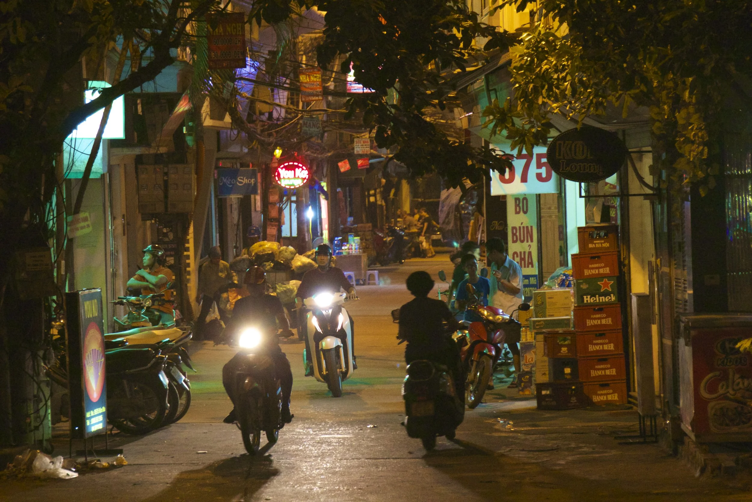
Considering making Hanoi your home for a while? Awesome! It's a great place to live, but it can take some getting used to, and knowledge is power. This guide should answer all the questions you could have about moving to Hanoi, but if you're still feeling uncertain, don't hesitate to reach out and ask me yourself!
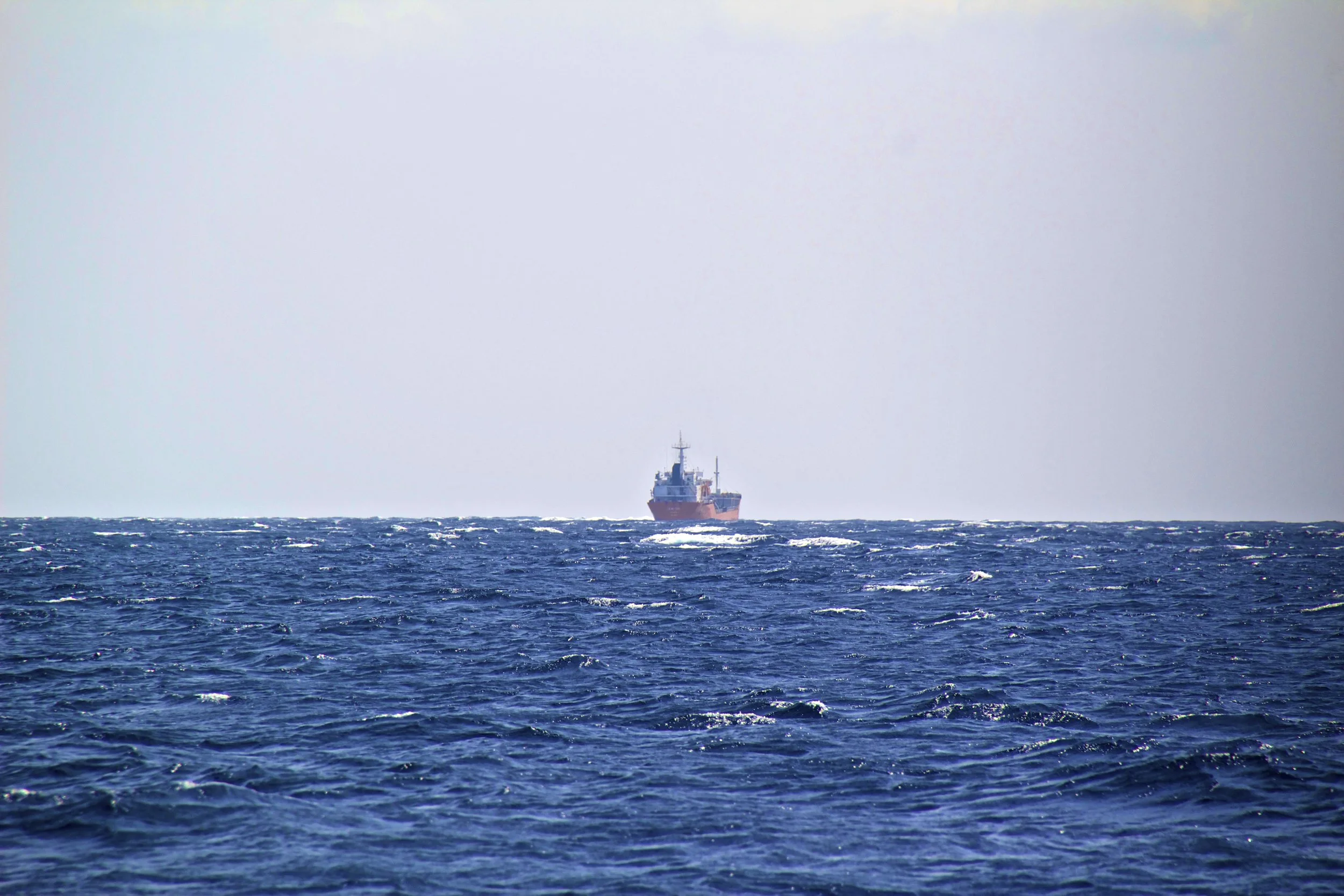
The rest of us, strangers to one another at this point, looked at each other, and then with an uneasy shrug climbed down onto the deck of this tiny boat. It bobbled precariously with every passing wave. One thing was certain: this was going to be interesting. So let’s fast-forward a little bit, shall we?

We were driving overnight and I was doing my best to sleep but it was tough with our bus driver trying to break some sort of land speed record on the winding, bumpy mountain roads. It didn’t help that I had to twist and mangle my long white-person legs into terrible positions to fit into my seat in the first place. We made it to Mù Cang Chải a little bit before sunrise. This town would serve as our ‘base camp.’
Where do you want to go?
Maybe this site can give you some insight!
Where do you want to go?
Maybe this site can give you some insight!
🔴 Red dots = Locations visited by Peter but not covered on this blog (yet!)Guides to Peter's Home-Town: Columbus, Ohio
Guides to Peter's Home-Town: Columbus, Ohio
Destinations
Some of these places might make you a little nervous.
Some might get you excited.
But all of them are full of people just like you.
Destinations
Some of these places might make you a little nervous.
Some might get you excited.
But all of them are full of people just like you.
Jack the Ripper committed a string of 5 murders over a 10-week period in the autumn of 1888, in the then-impoverished East End of London. Specifically, this all went down in and around an area called Whitechapel. What better to do in London for Halloween than go on a late-night Jack the Ripper historical tour? That was the itinerary for Halloween 2025. On Halloween night, we put on our coats and hopped on the tube to meet our tour group in Whitechapel (East London).