OKAY!
So the last article was pretty intense. And the one before that—though less intense—was pretty freaking long. Armenia is a place that demands some explanation. But now that we’ve gotten through the thick of things, it’s time to have some fun.
Today we’re exploring Lake Sevan and the surrounding areas!
A Quick Intro To Lake Sevan
Lake Sevan is the life blood of Armenia. This is the biggest water source in a small landlocked country, so its value as a natural resource cannot be overstated. It provides 90% of the fish consumed by Armenia, as well as a huge portion of the water used for agricultural irrigation and generation of electricity. And if you look at a map of Armenia, it’s probably the first geographic feature that you will notice. Armenia is not a big country—for my American readers, it’s about the size of Maryland—so a lake this big is hard to miss. Exactly how big is it? It’s about 1,900 squares miles, or about 1/6 of Armenia’s total surface area. That makes it a little more than half the size of Lake Erie. And at 312 ft deep, Lake Sevan is actually quite a bit deeper than Lake Erie. Although, it’s a bit less deep these days than it used to be.
During Armenia’s membership in the Soviet Union, the lake was heavily exploited. It was actually being drained for a while, losing about 66 feet in depth and more than 40% of its volume. This means that land formations that used to be islands, are now peninsulas. While I was on one of these former islands/current peninsulas, I was told a story about how Armenia managed to stop the draining of Lake Sevan. I’ve been unable to verify this story, but I’m gonna tell it to you anyway:
It was sometime around 1980, when the former Premiere of the Soviet Union Nikita Khrushchev came to Armenia for a visit. Then-leader of the Armenian SSR, who I guess would have been Karen Demirchyan, treated Khrushchev to a nice fish dinner, and got him very drunk. Apparently Khrushchev was having a really good time and commented on how much he liked the fish. At this point, Demirchyan seized his opportunity and woefully brought up how it wouldn’t be long before there were no fish left at all (because the lake was being drained). Khrushchev was drunk and in a good mood, so he said to Demirchyan, “What can I do to help?” Demirchyan whips out a ready-made package of legislative documents for Khrushchev to sign that would legally protect Lake Sevan, and Khrushchev signs them on the spot.
The next morning Khrushchev wakes up with a terrible hangover, and remembers what happened the night before. He knew that he had been taken advantage of, but at that point, there was nothing he could do. Lake Sevan was protected.
Here’s actual footage of Demirchyan and his aids after this happened:
Anyway, here’s lake Sevan on the map. It’s an easy day-trip from Yerevan, and it’s got tons of cool stuff all around it. Feel free to zoom in a poke around before we get started! We’ll be taking a tour of all the cool churches and historical sites in the neighborhood.
Sevanavank
(Church)
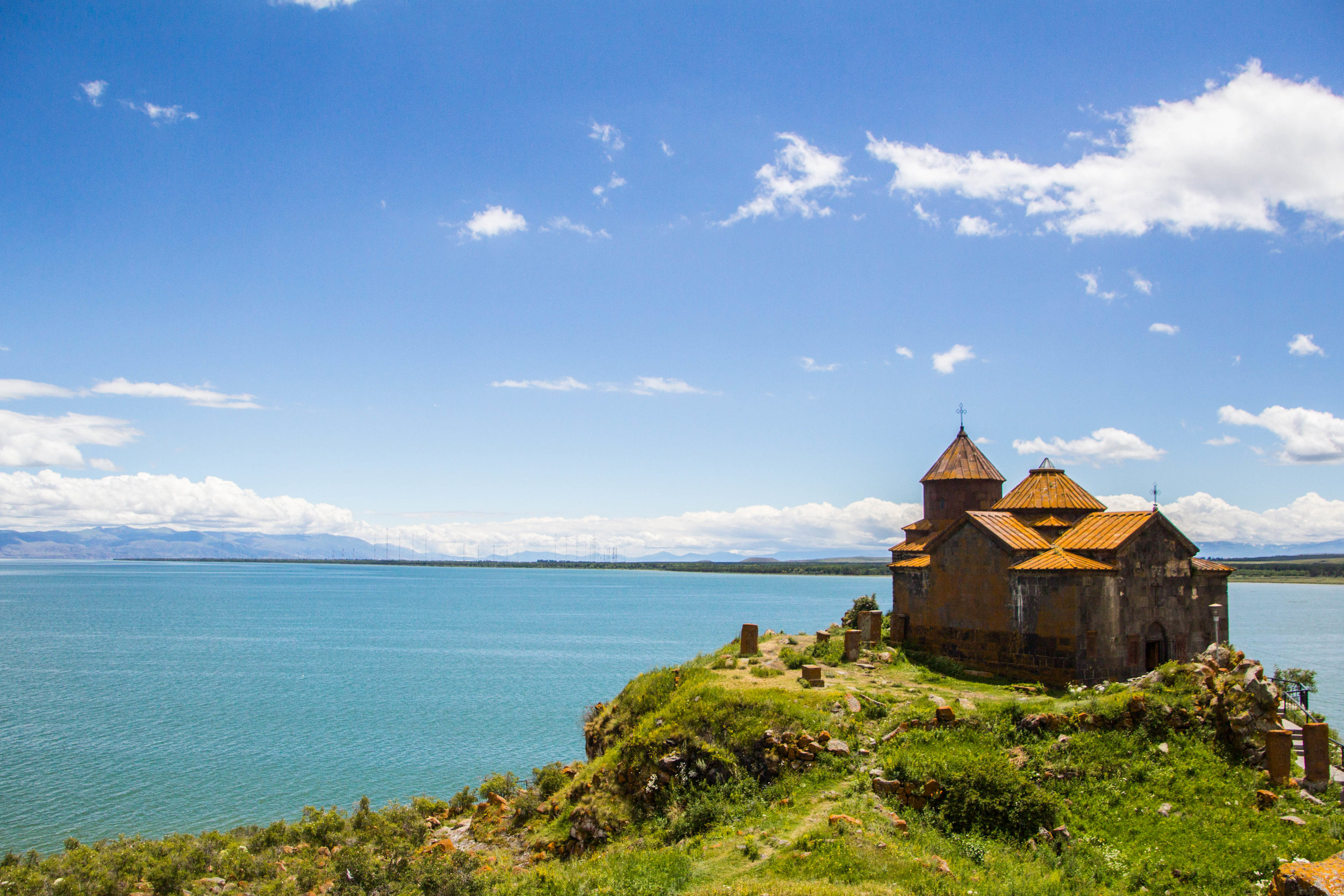
Remember earlier how I mentioned that during the time when Lake Sevan was being drained, there were islands that turned into peninsulas? Well Sevanavank is a church that is on one of those former islands / current peninsulas. Technically it’s more than just a church; it’s a monastic complex. Until recently there was actually a seminary here, but it moved to the northern shore of the lake a few years ago. It’s also now attached by land to the town of Sevan (so there’s a lake and town that are both named “Sevan”) which is the closest point of the lake to Yerevan. For this reason, Sevanavank is one of the most visited tourist attractions in Armenia.
Sevanavank was built in the year 840 A.D., when Armenia was under control of the Arab Empire. Today the church is surrounded by a small cluster of bakeries, food stands, and souvenir shops. On the stairs up to the bluff on which the church sits, there are poor elderly people begging or selling hand-made trinkets. Down at the water front there are docks with old-looking boats tied up next to an arsenal of jet skies and weathered restaurants sometimes operating out of tents. From the top of the bluff, we saw people riding those jet skis around the harbor and out onto the lake. Even though it was the middle of the summer, the altitude made the air here feel crisp and cool. You see, Lake Sevan is actually at an altitude of 1900m (6,234 feet), making the hardy green grass stretching out towards the surrounding snowy mountains seem more like a tundra at times. I brought to mind images of Iceland. But, obviously, a little less intense.
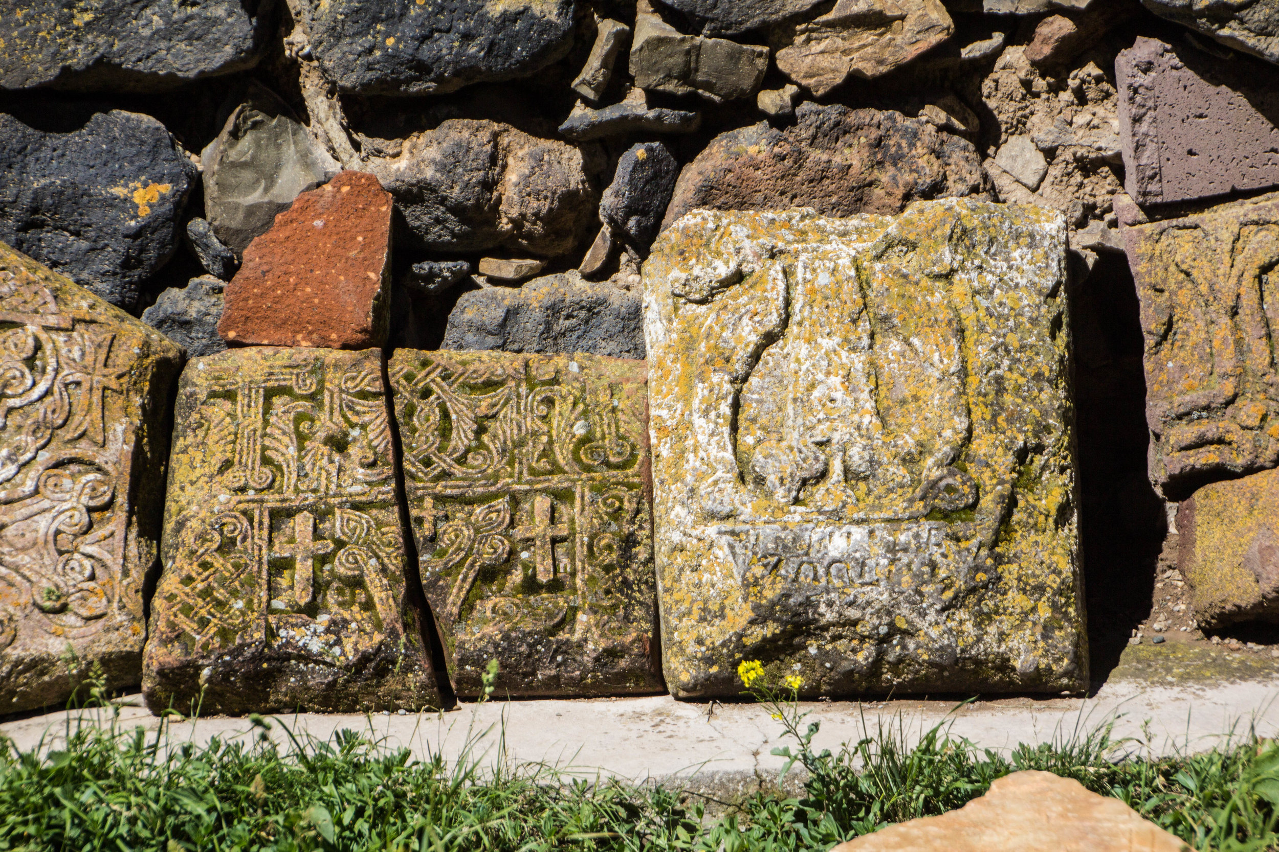
Here are some pictures of the church, the view out over the lake, the town of Sevan, and of people lighting candles inside the church. The old stones with crosses of them are called “khachkars,” also known as “cross stones,” and are a traditional form of Armenian art closely associated with the church. They universally depict biblical scenes, and apparently no two of them are the same.
Hayravank
(Church)
The next church we sped off to was called Hayravank. As was the case with Sevanavank, Hayravank sits close to a small town that shares its same name. This church felt quite similar to Sevanavank, but it was in a much more secluded location. The rolling green hills around it, again, reminded me of tundra like you’d see in Iceland. The colors of these fields were extremely bright, and wildflowers were everywhere. Outside the church there sat quite a wide breadth of khachkars (cross stones), as well as a few gravesites of priests and monks that had called this place home in the distant past. During our visit there was a modern day priest present on the grounds, who spent a good deal of time speaking and praying with Armenian families that drove up in Soviet-looking cars to pay their respects.
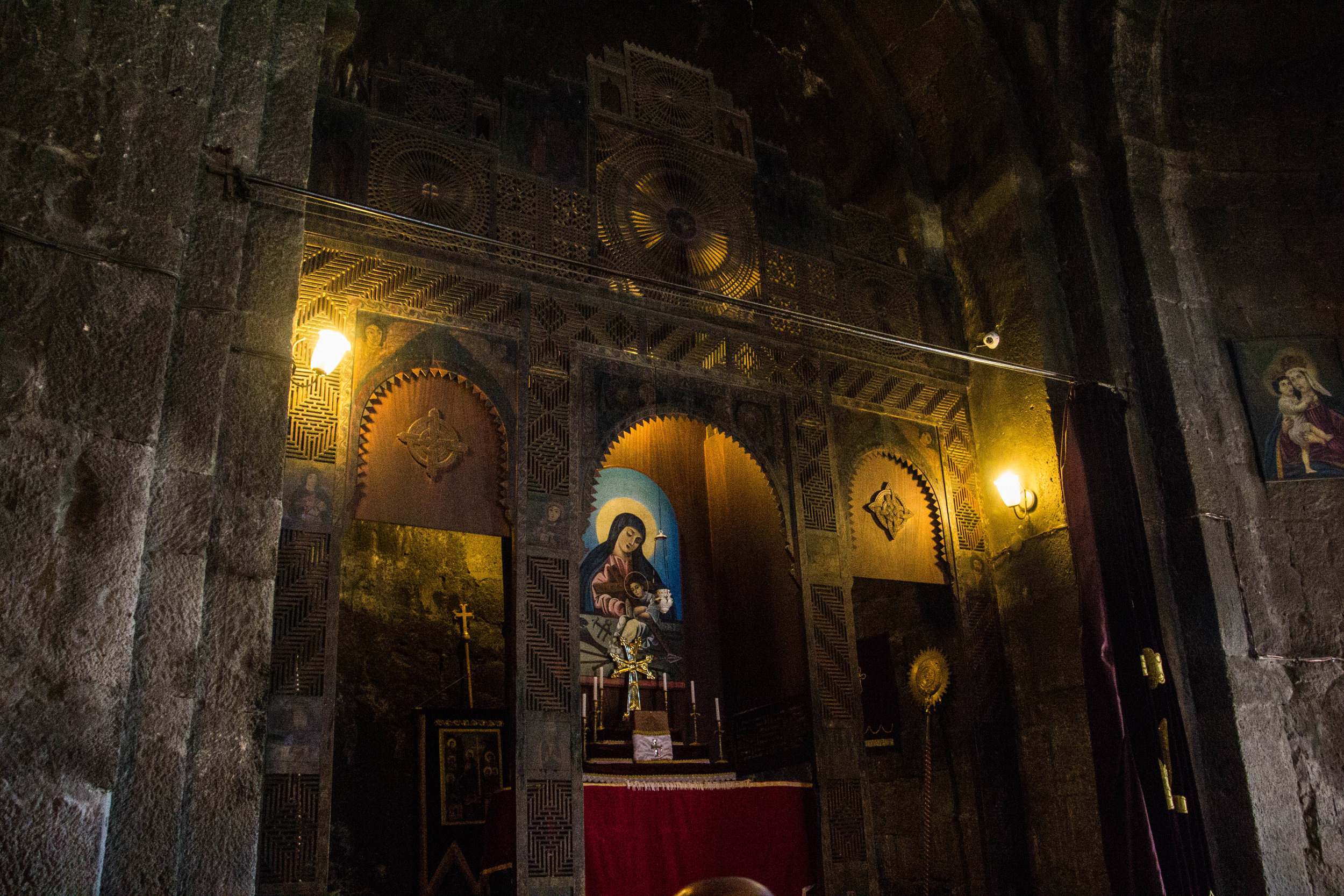
This church was originally built in the 9th century A.D., and was last modified in the 12th century. There have been a few amenities (such as lightbulbs) added in the more recent past, but overall this place felt like a big step into the past. Inside the church, as would prove to be typical of all Armenian churches, there were elevated trays full of candles situated all around the inner chambers. These trays were full of water, and had a layer of sand at the bottom, into which candles were placed. Then the candles would burn down to little nubs, extinguishing in their last few centimeters when the flame met the water. As a result, the candle trays often had waxy residue floating around, as well as the nubs of candles past hiding just under the surface of the water. Every church seemed to have an older woman designated as caretaker, whose sole duty was essentially to collect these candle nubs and wax run-off every 10-15 minutes. They were very busy.
Geghard
(Church)
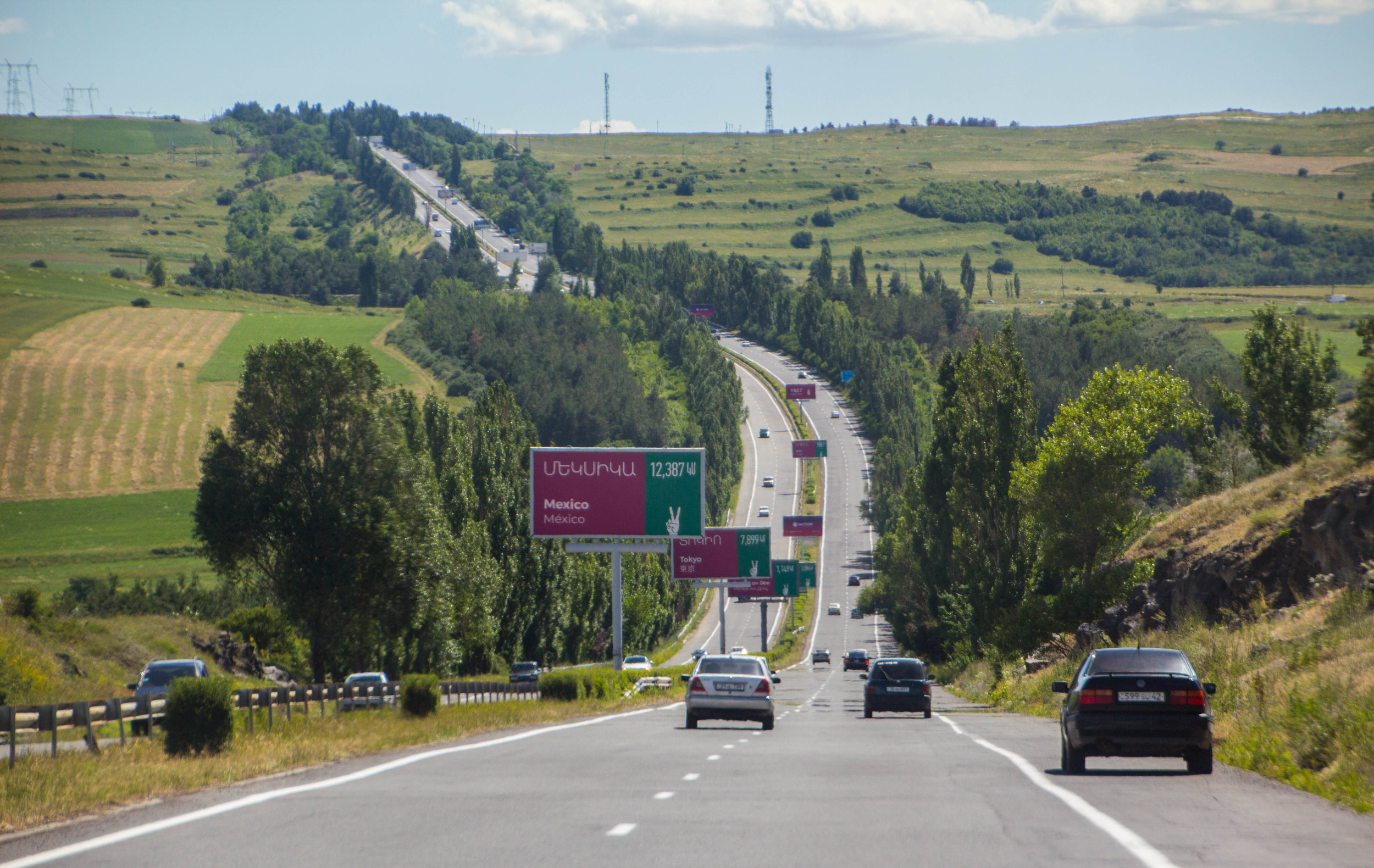
Now we’re going to veer off a bit from the Sevan area, and head south to Geghard. Here the terrain will lose its lush green color, and take on more of an earthy tone. To put this more at a macro level, this is where the greenery that you probably associate with Russia meets the arid/desert climate of Persia (a.k.a Iran). We’ll dive a bit further south in our next article to where Armenia REALLY starts to feel like a desert, but for today this is as far as we’re going. Here are a few pictures of the roads and landscape around here…
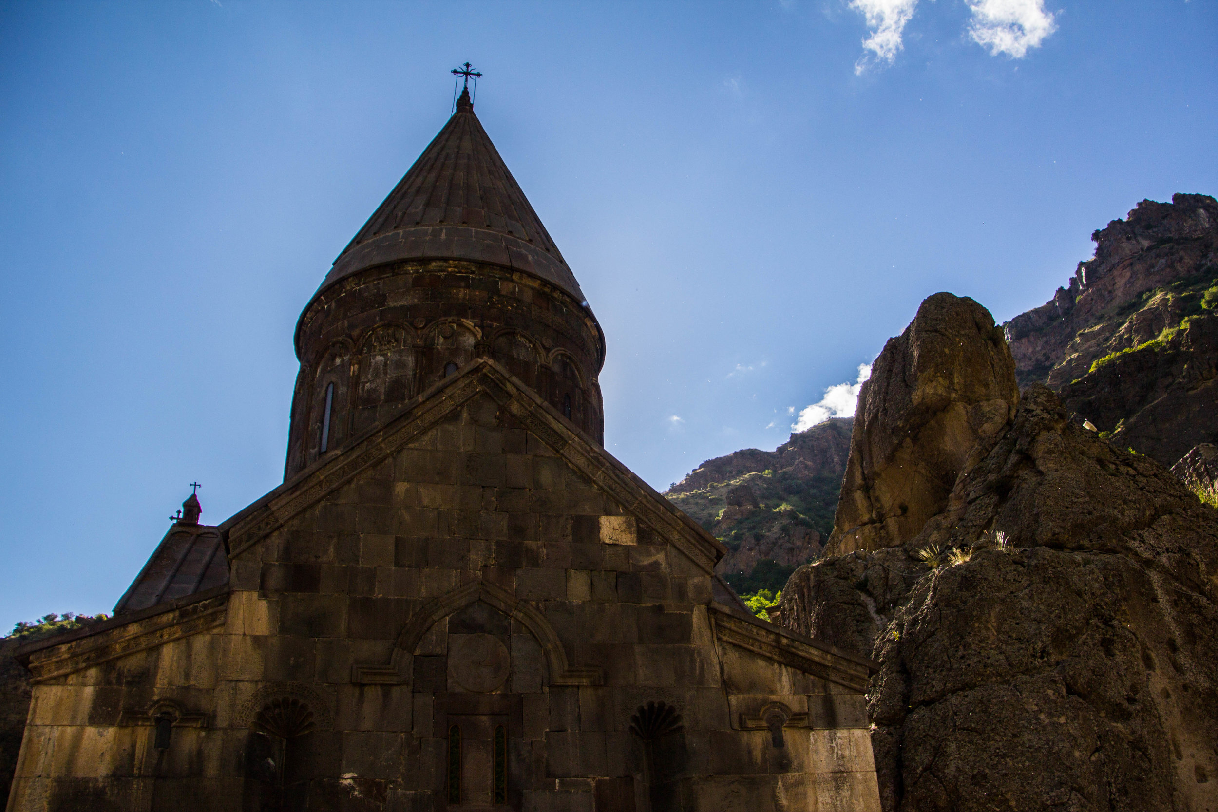
Gehard is one of the most famous churches in all of Armenia, in part because it was literally carved out of the side of a mountain. Indeed, this area is both rocky and mountainous, and tucked away in one of the region’s many stony valleys, this church is one with the stone. While the monastery was actually founded the 4th century AD by Gregory the Illuminator, the main chapel (the one carved out of the side of a mountain) was not built until 1215 AD. Or, I should say, it was re-built, because the Arabs destroyed the first version of this place during their Armenian conquests in the 9th century. Also, I want to note here Gregory the Illuminator is an important guy in the history of Armenia. He was the founder and is the patron saint of the Armenian Apostolic Church, and is credited with converting Armenia from Paganism to Christianity. We’ll talk more about ol’ Grego in a future article.
The name Geghard is short for Geghardavank, which translates to something like "the Monastery of the Spear." Apparently, the spear that was used to stab Jesus during his crucifixion was brought here by the Apostle Jude (a.k.a. Thaddeus). Now this spear is on display at Vagharshapat, which is the “mothership” for the Armenian Church. I went there, but it was kind of boring, so I’m not writing about it. It’s a huge, active church campus with a few old churches. 🤷🏻♀️
Anyway, Geghard sits tucked away in the Azat River gorge. There is a paved road that gets you most of the way there, but eventually turns to brick as you enter into the homestretch. As we walked through huge stone gates, we realized that we were crashing a wedding. Oops! So of course I took a picture. Fast forward 30 minutes and we had made our way through the majority of this site, and I would be remiss if I didn’t emphasize how cool it was. Geghard is really really cool. Here are some pictures.
There’s a lot of special stuff going on around this place, such as the towering cliffs and tiny particles of cotton floating in the air, catching the sunlight (at least I think it was cotton), but the coolest thing of all was just the aura inside this place. It is utterly medieval, straight out of Game of Thrones. There’s one room specifically that really left a strong impression on me. It’s located on the upper level of the structure and is called the “vestry” (not sure what that word means) or, in Armenian, the “gavit.” This room is supported by four massive stone pillars, and there is a fragment missing from the floor that has created an opening looking straight down into a similar stone chamber on the first level. These cracks apparently opened up when an earthquake hit the region many centuries ago. Armenian has quite the history with earthquakes! Anyway, while we were in this room, an Armenian man was speaking to a group of people about the singing that was common among Gregorian monks of the Armenian Apostolic Church. The acoustics in the gavit were supposedly very special. Tourists were shuffling in and out of the room giving rise to a steady droning of white noise, but at a lull, he cleared his throat, and began to sing…
How freaking cool is that singing? That’s the kind of stuff you need to put these pictures in perspective. The echoes in the place were incredible. My mind was running wild imagining artists tracking live videos in this room. How cool would that be? It would be like the video of Kaleo playing in an Icelandic volcano. Just imagine Fleet Foxes singing in here!
Anyway, here are a few more pictures to really drive home what this places feels like. And next we’ll move on.
Garni
(Church)
The last church (but not the last site) we’re going to visit is called Garni. It’s super close to Geghard, so the two of these places often are treated as package deal by visitors to Armenia. However, they’re quite different from one another. You’ll see why. But first, let me show you a couple photos I took of an old Armenian lady’s jam and jelly stand in the Garni parking lot. I think there were also some pickled vegetables in these jars. And there was some vodka in the mix as well. I thought it was a cool vibe.
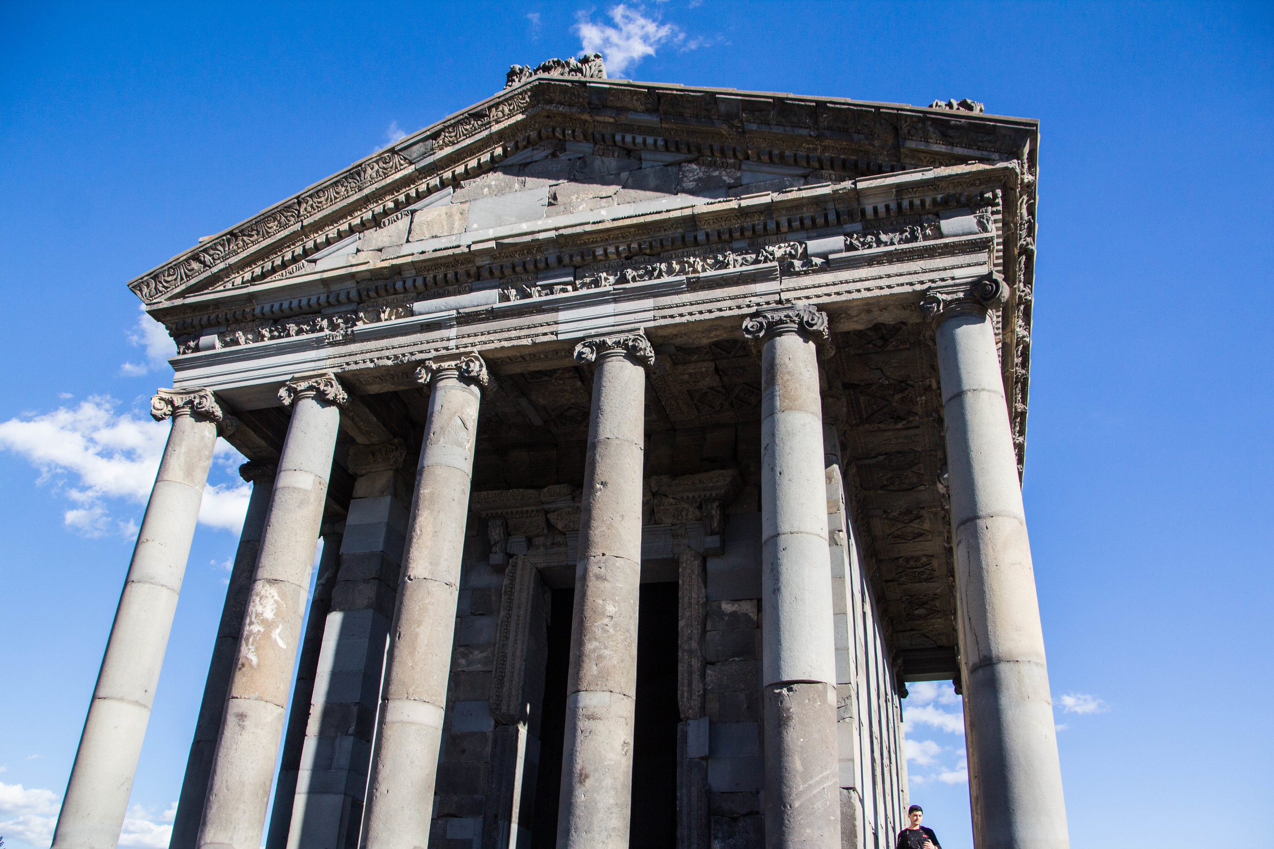
Garni is the only standing Greco-Roman colonnade (the quintessential Greek/Roman buildings with long rows of pillars) in Armenia, and the former Soviet Union at large. Armenia was part of both the Greek and Roman Empires prior to its conversion to Christianity in 301 AD. So, starting in 301, all of the religious structures that had been built previously were branded as “pagan.” Garni is the last pagan temple left in Armenia.
What happened to the rest of the pagan temples in Armenia? When Armenia made the switch to Christianity, King Tiridates III destroyed all pagan religious structures in Armenia. All of them except one. Garni was spared because… well, there are competing theories as to why. Some say it became a royal summer house. Others say that it was a tomb. One theory is that the structure was such a work of art that it was preserved for academic reasons. Whatever the case, this thing is OLD! It was built in 77 AD, making is one of the oldest structures in all of Armenia. Or, it was… until it collapsed in an earthquake in 1967. Armenia and these damn earthquakes! Garni’s reconstruction lasted from 1969 to 1975, and that brings us to today!
Honestly, this was one of the less interesting sights I saw in Armenia. The chamber of this temple is basically just a big empty room, so when you look at these photos, what you see is what you get. There are also Roman baths nearby, but they weren’t very photogenic. So this place is pretty, unique, and interesting, but not a highlight for me.
Noratus
(Cemetery)
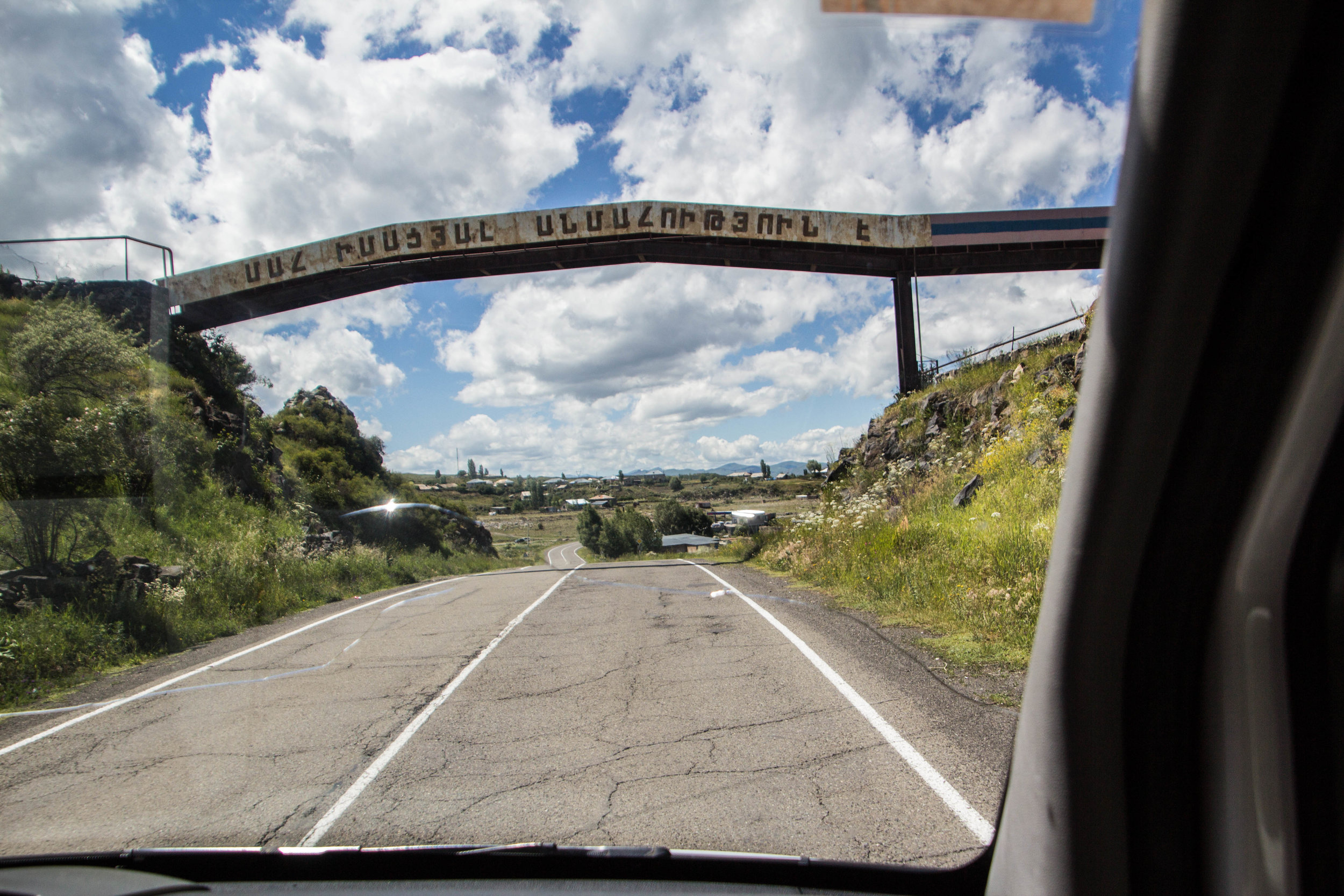
The last place I’m going to show you is back up north, near Lake Sevan. Noratus is not a church, rather, it is a cemetery (which also shares the name of the town that sits next to it). Honestly, I think it was my favorite place in all of Armenia. I love a good cemetery, and I’d put this one up there with Havana’s Cementario de Cristóbal Colón and Reykjavík’s Hólavallagarður Cemetery. But before I talk about it, let me show you some quick snaps I took out the window as we sped around the Lake Sevan area. It’s a super pretty area.
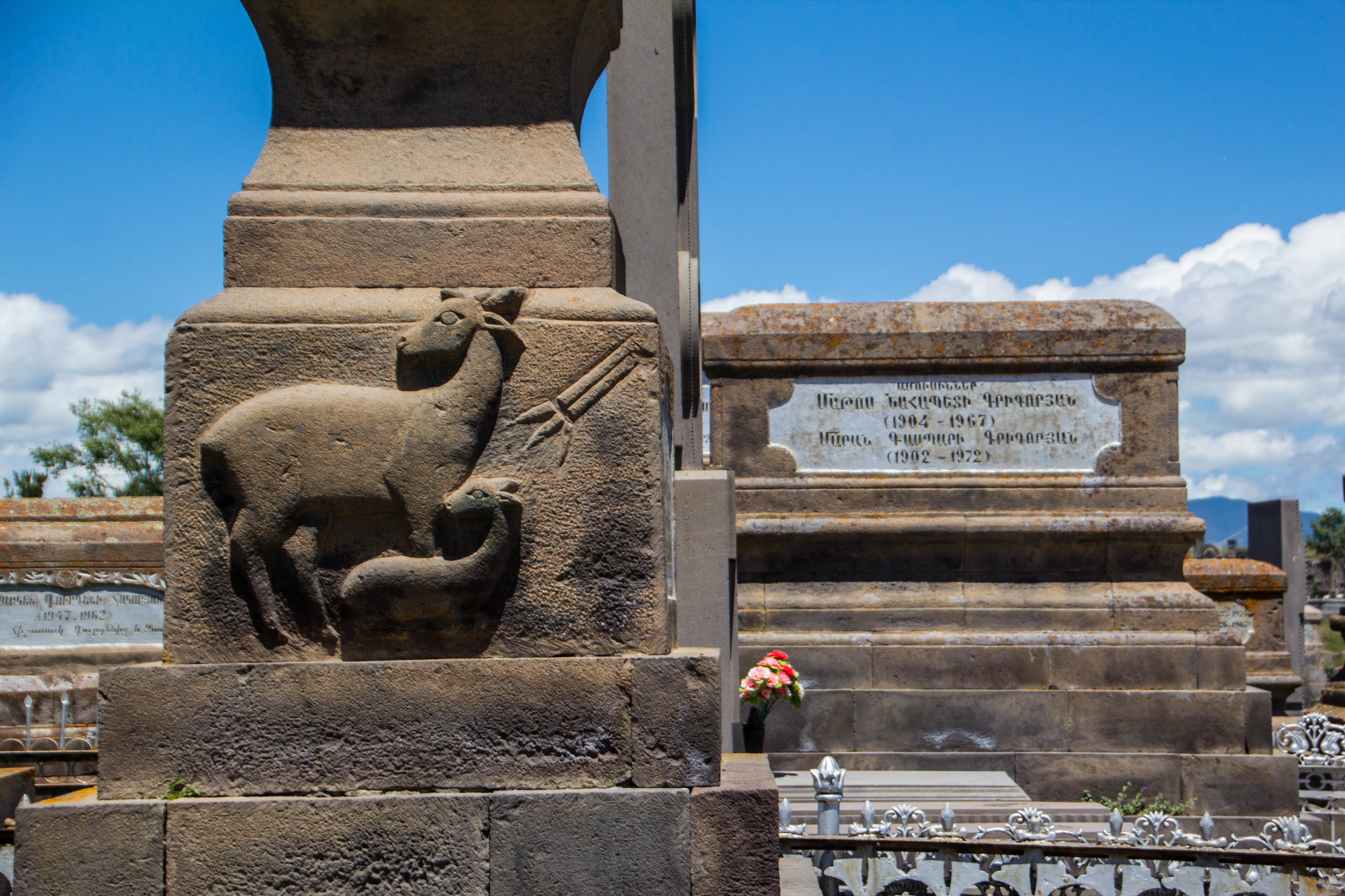
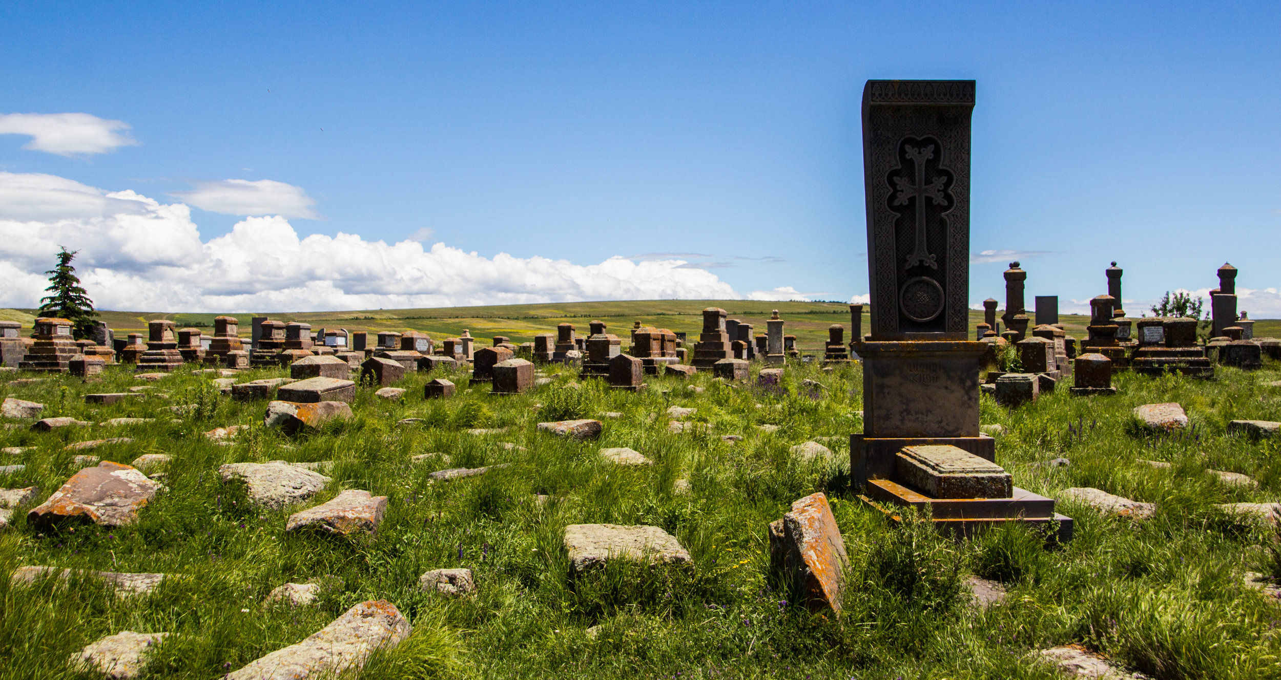
So what’s so special about Noratus Cemetery? For starters, it’s really old. There are graves here that date back to the 9th century A.D. Secondly, it’s the largest standing cluster of khachkars (remember—those are classical Armenian cross stones) in the entire country. There used to be one that was bigger in a town called Julfa, but this was destroyed in the war between Azerbaijan and Armenia, as the town is located in what is now Azeri-occupied territory. Again, many of these khachkars date back to the 9th century as well. Of course there are lots of gravestones from the much more recent past, tracing steady generational lines back through time.
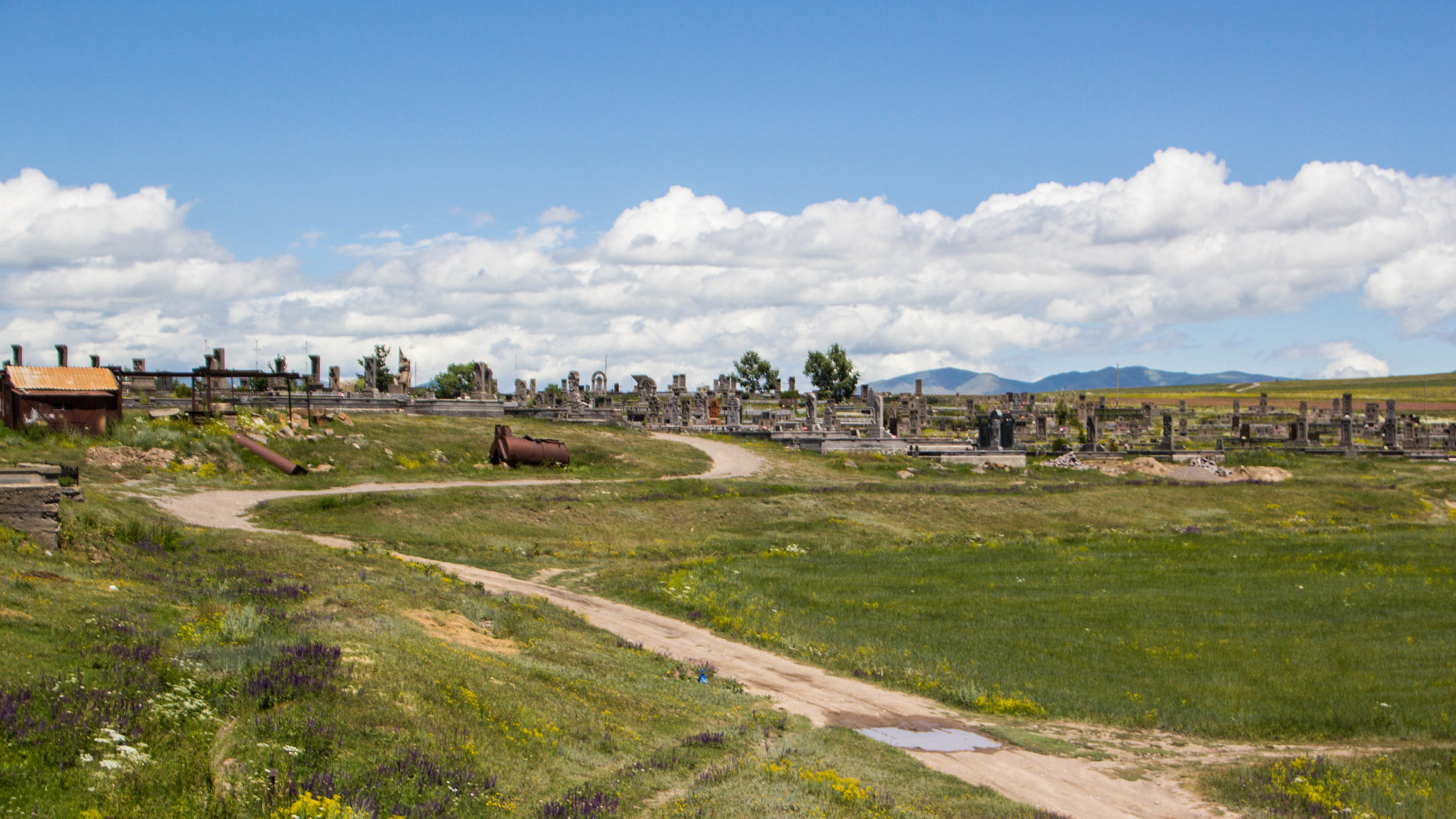
So that’s all well and good, but I barely knew any of that when I first showed up here. And I was still enamored. This place has some magic to it. Even in the middle of summer, the surrounding mountain tops are covered with snow, making you feel like you’re somewhere truly remote (rather than 2 hours from Yerevan). Although there is a rustic little town that sits right next to Noratus, full of people who visit the cemetery regularly, it’s overgrown with thick green grass and a wide diversity of colorful wildflowers. Gravestones and cross stones are scattered throughout the field, most of them covered with lichen and moss. Occasionally villagers will walk herds of goats amongst the gravestones so that they can graze. Following one of these goats into the small spaces between gravestones, the grass was quickly up to me knees. I began to worry about the snakes nestled into these crevices, so I hustled through the overgrown maze to the otherside.
On the far side of Noratus, I found myself on a dirt road on the side of a gently sloping hill. Looking out from the bluff, I saw an endless sea of bright green grass, studded with wildflowers, stretching off into forever. The wind whistled around me, carrying majestic cloud formations briskly across the fields. Off in the distance there were a few token farm houses nestled into the grass, and beyond them, nothing. It reminded me of Howl’s Moving Castle.
I had come here by chance, on a tour through the Yerevan Envoy (which is a solid place btw) so I was with a tour group full of new friends. I’m usually not the one to wander off, but I straight up ghosted them here. I couldn’t help it! Sometimes places catch you off guard and you’ve got to follow your feet.
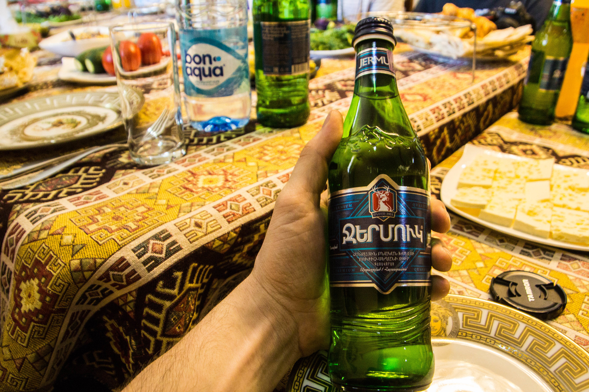
Eventually I circled back around and found them, just in time for lunch, which was held in a surprisingly nice home within the town of Noratus. This was my first meal in an Armenian home. I would come to learn that families throughout the Caucasus region earn extra cash by cooking big lunches for tour groups and letting them in for and authentic meal. How authentic it actually feels depends on a variety of factors, but this one ranked pretty well. Or maybe I was too distracted to notice because an old British dude was telling us a story about how he had been kidnapped and held in captivity for 5 days in a Senegalese jungle. All of our jaws dropped as he recounted the incident. Here are a couple photos of the spread. I especially love the label on this bottle of soda water—Armenian is a very cool-looking language.
So that’s a sampler of the area around lake Sevan, plus a couple other things that felt related. This checks a lot of boxes on the “things that you can do in Armenia” list, and it’s definitely doable in a single day by car if you get an early start and don’t linger too long in any one place. Armenia is small country, and the roads are mostly decent, so it’s easy get around. It’s a small country, but it’s got lots of cool places in it.
That just leaves our track of the day — Imagine this being performed inside Geghard.
@Robin Pecknold can we make this happen?


