When you fly into Madeira—assuming you are coming from Europe, which is undoubtedly the most common flight path—you will fly over this jagged, sun-soaked rocky outcropping. Even from the window of the plane, it seems really long. It makes an impression on you immediately that Madeira is going to be a rocky, mountainous place. Which is true. I had sort of forgotten about this little land formation until I looked at the map on the morning of this hike (I wasn’t responsible for planning this portion of the trip 😂)—it turned out, we would be hiking out to the very end of it!
At the time of our visit, Farol da Ponta de São Lourenço was the 2nd most popular hike in Maderia on AllTrails, which I just found out has this cool map embed feature. So here’s the info from AllTrails: it’s categorized as an “intermediate” hike, and you can probably knock it out in a few hours. There are definitely som very steep stretches of trail, but there are also flatter portions where you can catch your breath. And there is also a little oasis in the middle of it in the form of a cafe! I have no idea how these restock that place.
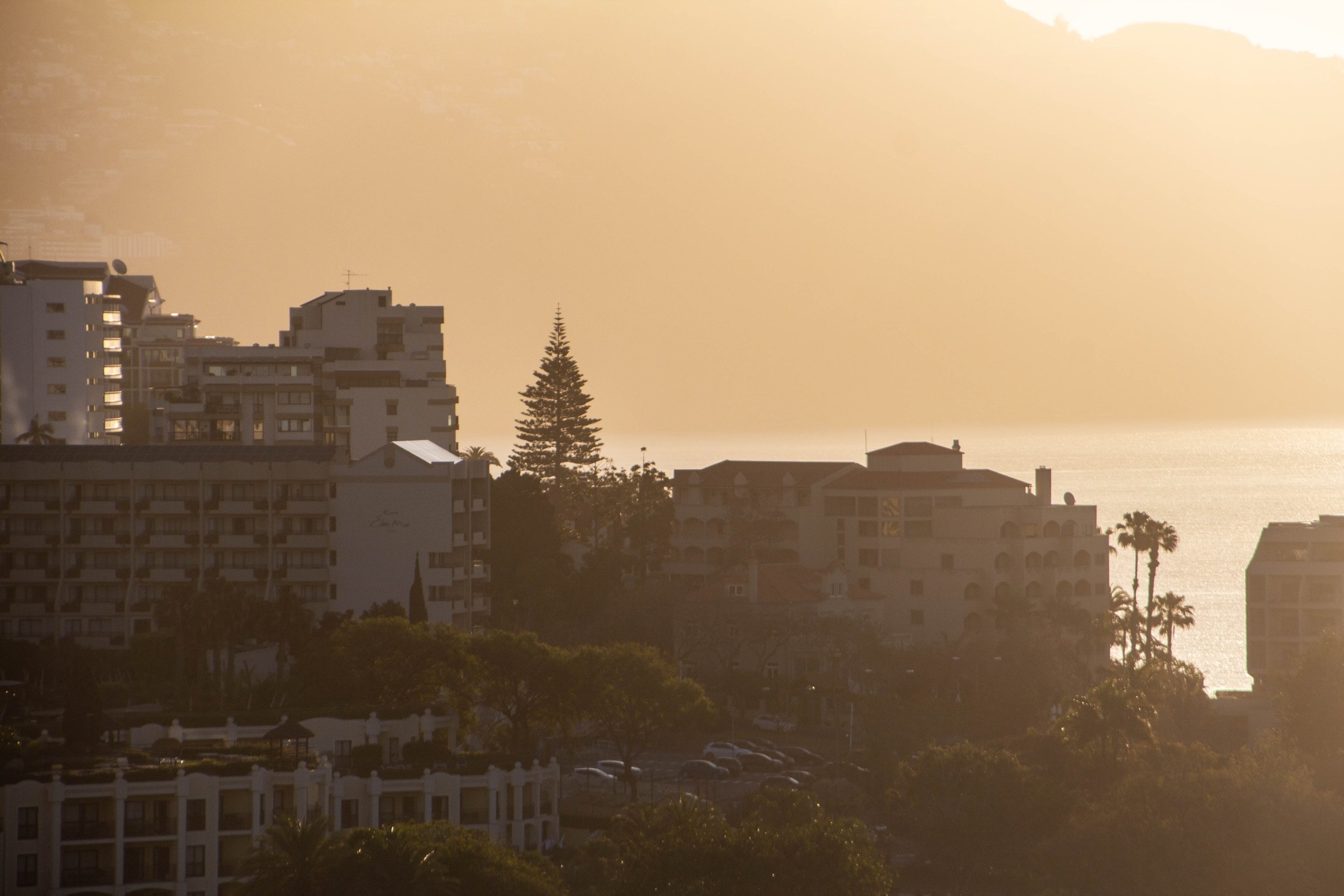
Our time in Portugal continues! Now we’re going to head to the Lisbon airport and catch a plane to a little-known island off the coast of Africa that… somehow… is still part of Portugal?? It’s called Madeira.
To be perfectly honest, even I—PETER, THE MAP ENTHUSIAST—wasn’t sure where Madeira was when the idea of traveling here was first posed to me. This is why it’s good to plan trips with other adventurous friends: they will push you to places you wouldn’t have otherwise considered! Once we settled on going to Madeira, it turned out that we had quite a few friends who had traveled here before us, so perhaps this island isn’t so “little-known” after all. 🤷🏻♂️
This many mountains is just insane to me. Prior to this trip, this was not what I pictured when I thought of Oregon. This was downright RUGGED! And it was gorgeous. The three mountains in closest proximity to Black Butte, and to one another are the Three Sisters for which this area is named: Middle Sister, North Sister, and South Sister. All three of these mountains are sleeping volcanoes. The North and Middle Sister last erupted ~14,000 years ago and scientists think it’s unlikely that they’ll ever erupt again. However, the South Sister erupted as recently as 2,000 years ago, and could feasibly erupt again. There have been sporadic reports of volcanic rumblings deep within South Sister since 1866, and there have been a couple of minor scares since the late 1980s. Nothing has ever happened, but there is a big pot of magma a few miles beneath the peak of South Sister. Did I mention that South Sister is also the easiest of these mountains to climb? Sign me up for that!! 😵